File:Map of USA TX.svg
Jump to navigation
Jump to search

Size of this PNG preview of this SVG file: 286 × 186 pixels. Other resolutions: 320 × 208 pixels | 640 × 416 pixels | 1,024 × 666 pixels | 1,280 × 832 pixels | 2,560 × 1,665 pixels.
Original file (SVG file, nominally 286 × 186 pixels, file size: 167 KB)
Captions
Captions
Add a one-line explanation of what this file represents
Clickable version
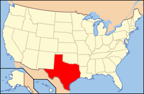
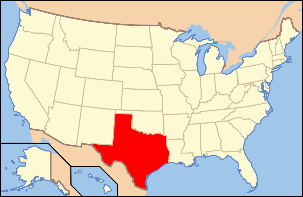
| Description | Map of USA with Texas highlighted | ||||||||
| Date | see file history below. | ||||||||
| Source | own work by uploader, based on Image:Map of USA without state names.svg | ||||||||
| Author |
This version: uploader Base versions this one is derived from: originally created by en:User:Wapcaplet |
||||||||
| Permission (Reusing this file) |
This file is licensed under the Creative Commons Attribution 2.0 Generic license.
|
||||||||
| Other versions | image:Map of USA with state names.svg |

File history
Click on a date/time to view the file as it appeared at that time.
| Date/Time | Thumbnail | Dimensions | User | Comment | |
|---|---|---|---|---|---|
| current | 10:36, 9 June 2006 | | 286 × 186 (167 KB) | Huebi~commonswiki (talk | contribs) | {{Information| |Description=Map of USA with Texas highlighted |other_versions=image:Map of USA with state names.svg }} Category:Maps of the United States Category:Maps of Texas Category:SVG maps {{GFDL-en}}{{cc-by-2.0}}{{cc-by-sa-1.0}}{ |
You cannot overwrite this file.
File usage on Commons
The following 8 pages use this file:
File usage on other wikis
The following other wikis use this file:
- Usage on af.wikipedia.org
- Usage on als.wikipedia.org
- Usage on ang.wikipedia.org
- Usage on an.wikipedia.org
- Usage on ay.wikipedia.org
- Usage on azb.wikipedia.org
- Usage on az.wikipedia.org
- Usage on az.wiktionary.org
- Usage on bat-smg.wikipedia.org
- Usage on ba.wikipedia.org
- Usage on be-tarask.wikipedia.org
- Usage on bg.wikipedia.org
- Анджелина (окръг, Тексас)
- Арансас (окръг, Тексас)
- Остин (окръг, Тексас)
- Бий (окръг, Тексас)
- Беър (окръг, Тексас)
- Бланко (окръг, Тексас)
- Бордън (окръг, Тексас)
- Боски (окръг, Тексас)
- Боуи (окръг, Тексас)
- Бразория
- Брискоу (окръг, Тексас)
- Бразос (окръг, Тексас)
- Брукс (окръг, Тексас)
- Браун (окръг, Тексас)
- Бърлсън (окръг, Тексас)
- Бърнит (окръг, Тексас)
- Колдуел (окръг, Тексас)
- Калхун (окръг, Тексас)
- Калахан (окръг, Тексас)
- Камерън (окръг, Тексас)
- Кемп (окръг, Тексас)
- Карсън (окръг, Тексас)
- Кас (окръг, Тексас)
- Кастро (окръг, Тексас)
- Чеймбърс (окръг, Тексас)
- Чероки (окръг, Тексас)
- Клей (окръг, Тексас)
- Кокран (окръг, Тексас)
- Коук (окръг)
- Колман (окръг, Тексас)
- Колин (окръг, Тексас)
- Колингсуърт (окръг, Тексас)
- Колорадо (окръг, Тексас)
- Комал (окръг, Тексас)
- Команчи (окръг, Тексас)
- Кончо (окръг, Тексас)
View more global usage of this file.