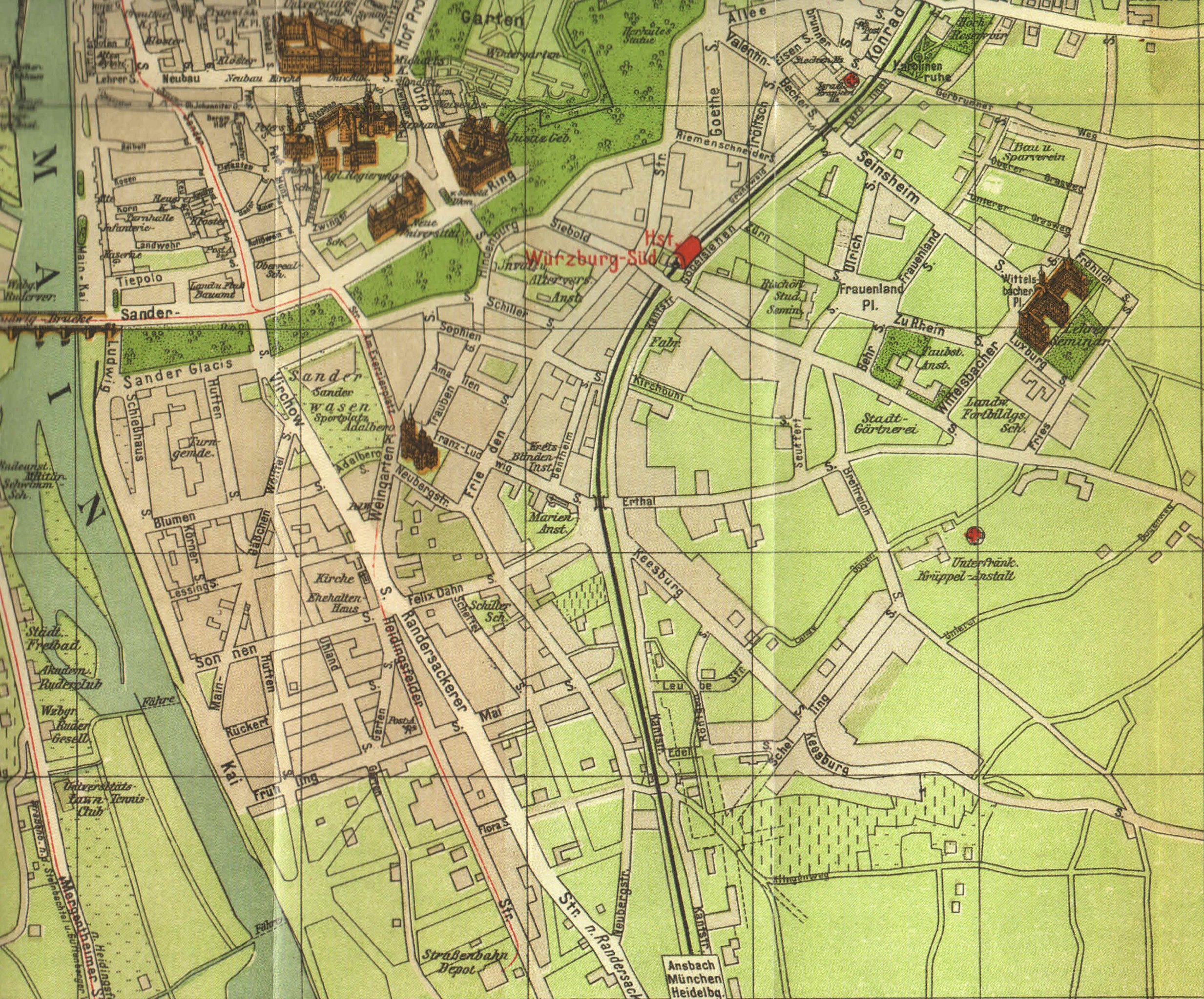
File:Map of Würzburg-Sanderau 1921.jpg

Original file (2,809 × 2,333 pixels, file size: 3.3 MB, MIME type: image/jpeg)
Captions
Captions
Summary[edit]
| Description | |
| Date | |
| Source | DGfK – DGPF – DVW 2014 |
| Author | PHARUS |
Licensing[edit]
|
This work is in the public domain in its country of origin and other countries and areas where the copyright term is the author's life plus 80 years or fewer.
| |
| This file has been identified as being free of known restrictions under copyright law, including all related and neighboring rights. | |
File history
Click on a date/time to view the file as it appeared at that time.
| Date/Time | Thumbnail | Dimensions | User | Comment | |
|---|---|---|---|---|---|
| current | 06:04, 10 December 2015 | | 2,809 × 2,333 (3.3 MB) | Der Buckesfelder (talk | contribs) | {{Information |Description ={{en|1=Map of w:en:Würzburg-w:en:Sanderau from the year 1921.}} {{de|1=Karte der Würzburger-w:de:Sanderau aus dem Jahr 1921.}} |Source =DGfK – DGPF – DVW 2014 |Author... |
You cannot overwrite this file.
File usage on Commons
There are no pages that use this file.
File usage on other wikis
The following other wikis use this file:
- Usage on de.wikipedia.org