File:Map of Xaignabouri Province, Laos.jpg
Original file (1,017 × 1,659 pixels, file size: 1.02 MB, MIME type: image/jpeg)
Captions
Captions
Summary[edit]
| Description |
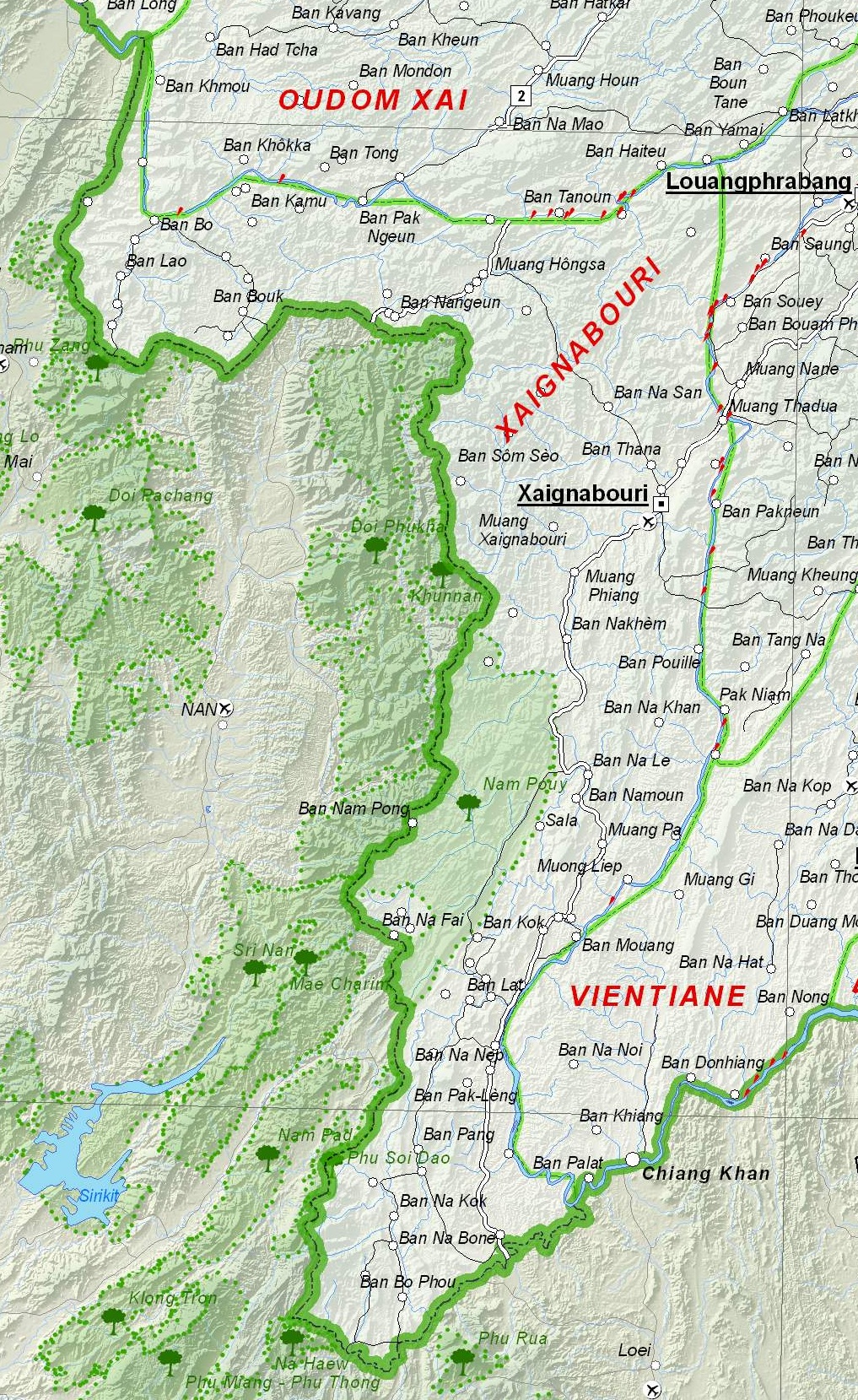
English: Map of Xaignabouri Province, Laos. |
| Date | |
| Source | Based on File:UNOSAT Laos Base Map.jpg |
| Author | UNOSAT, United Nations, modified by Dr. Blofeld |
| Permission (Reusing this file) |
The original file is marked with the UN symbol which means that it is a public domain resource. |
Licensing[edit]
| This image is a map derived from a United Nations map.
Unless stated otherwise, UN maps are to be considered in the public domain. This applies worldwide. UN maps are, in principle, open source material and you can use them in your work or for making your own map. UN requests however that you delete the UN name, logo and reference number upon any modification to the map. Content of your map will be your responsibility. You can state in your publication, if you wish, something like: based on UN map … (map name, map number, revision number and date). See: Geospatial Information Section. And: Geospatial, location data for a better world. |
 |
File history
Click on a date/time to view the file as it appeared at that time.
| Date/Time | Thumbnail | Dimensions | User | Comment | |
|---|---|---|---|---|---|
| current | 21:09, 6 December 2012 | | 1,017 × 1,659 (1.02 MB) | Blofeld Dr. (talk | contribs) | {{Information |Description ={{en|1=d}} |Source =d |Author =d |Date =d |Permission = |other_versions = }} d |
You cannot overwrite this file.
File usage on Commons
There are no pages that use this file.
File usage on other wikis
The following other wikis use this file:
- Usage on de.wikipedia.org
- Usage on en.wikipedia.org
- Usage on fa.wikipedia.org
- Usage on fr.wikipedia.org
- Usage on id.wikipedia.org
- Usage on it.wikipedia.org
- Usage on ml.wikipedia.org
- Usage on th.wikipedia.org
- Usage on ur.wikipedia.org
- Usage on vi.wikipedia.org