File:Map simabara road.png
Jump to navigation
Jump to search
No higher resolution available.
Map_simabara_road.png (590 × 599 pixels, file size: 77 KB, MIME type: image/png)
Captions
Captions
Add a one-line explanation of what this file represents
| Description |
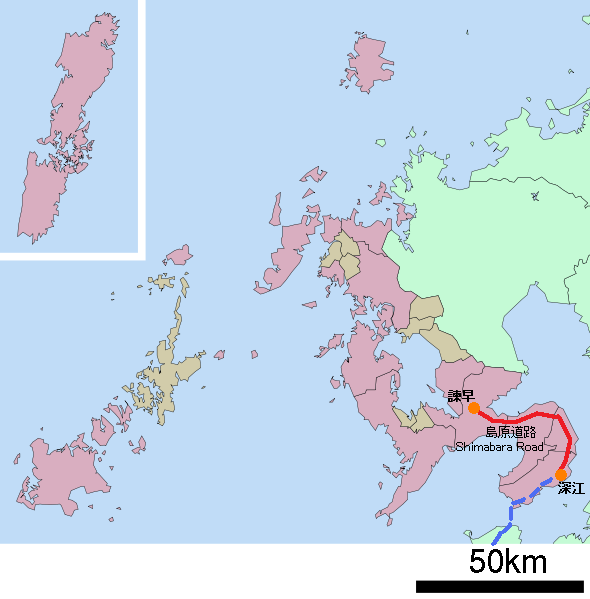
日本語: ja:島原道路の道路地図 |
||
| Date | 2009年8月4日 | ||
| Source | ja:File:包括自治体区画図 42000.svgを改変 | ||
| Author | Sakoppi | ||
| Permission (Reusing this file) |
I, the copyright holder of this work, hereby publish it under the following licenses:
This file is licensed under the Creative Commons Attribution 3.0 Unported license.
You may select the license of your choice. |

File history
Click on a date/time to view the file as it appeared at that time.
| Date/Time | Thumbnail | Dimensions | User | Comment | |
|---|---|---|---|---|---|
| current | 13:58, 4 August 2009 | | 590 × 599 (77 KB) | Sakoppi (talk | contribs) | {{Information |Description=島原道路の道路地図 |Source= ja:File:包括自治体区画図 42000.svgを改変 |Date= 2009年8月4日 |Author= Sakoppi |Permission= {{CC-BY-SA 3.0}} |other_versions= }} |
You cannot overwrite this file.
File usage on Commons
There are no pages that use this file.
File usage on other wikis
The following other wikis use this file:
- Usage on ja.wikipedia.org