File:Mapa de Colombia (subdivisiones).svg
Jump to navigation
Jump to search

Size of this PNG preview of this SVG file: 442 × 600 pixels. Other resolutions: 177 × 240 pixels | 354 × 480 pixels | 566 × 768 pixels | 755 × 1,024 pixels | 1,510 × 2,048 pixels | 7,455 × 10,112 pixels.
Original file (SVG file, nominally 7,455 × 10,112 pixels, file size: 3.45 MB)
Captions
Captions
Add a one-line explanation of what this file represents
Summary[edit]
| Description |
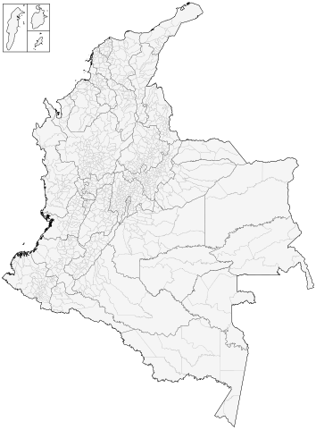
Español: Mapa de municipios de Colombia |
| Date | |
| Source | Own work |
| Author | Milenioscuro |
| Other versions |
|
.png)
.svg)
.svg&action=edit§ion=1)
Licensing[edit]
.svg&action=edit§ion=2)
I, the copyright holder of this work, hereby publish it under the following license:
This file is licensed under the Creative Commons Attribution-Share Alike 3.0 Unported license.
- You are free:
- to share – to copy, distribute and transmit the work
- to remix – to adapt the work
- Under the following conditions:
- attribution – You must give appropriate credit, provide a link to the license, and indicate if changes were made. You may do so in any reasonable manner, but not in any way that suggests the licensor endorses you or your use.
- share alike – If you remix, transform, or build upon the material, you must distribute your contributions under the same or compatible license as the original.
File history
Click on a date/time to view the file as it appeared at that time.
| Date/Time | Thumbnail | Dimensions | User | Comment | |
|---|---|---|---|---|---|
| current | 07:50, 2 June 2021 | | 7,455 × 10,112 (3.45 MB) | Milenioscuro (talk | contribs) | Barrancominas |
| 22:15, 28 May 2021 |  | 7,455 × 10,112 (3.45 MB) | Milenioscuro (talk | contribs) | new scheme | |
| 22:03, 28 May 2021 |  | 7,455 × 10,112 (3.43 MB) | Milenioscuro (talk | contribs) | new scheme | |
| 00:28, 26 February 2020 |  | 7,455 × 10,112 (4.69 MB) | CarlosArturoAcosta (talk | contribs) | Creación del municipio de Barrancominas en Guainía que fusiona Barrancominas y Mapiripana | |
| 08:23, 23 May 2015 |  | 7,455 × 10,112 (4.69 MB) | Milenioscuro (talk | contribs) | sin locator, únicamente con el recuadro (a escala) del archipiélago de San Andrés y Providencia | |
| 17:57, 27 November 2014 |  | 7,455 × 10,112 (4.73 MB) | Milenioscuro (talk | contribs) | correcciones: tamaños de los departamentos (todos a la misma escala), inclusiún de locators para Suramérica y el Archipiélago de San Andrés y Providencia, zoom sobre las islas mas importantes del país | |
| 11:54, 27 July 2013 |  | 7,431 × 9,882 (6.69 MB) | Milenioscuro (talk | contribs) | bordes gruesos | |
| 11:42, 27 July 2013 |  | 7,431 × 9,882 (6.69 MB) | Milenioscuro (talk | contribs) | User created page with UploadWizard |
You cannot overwrite this file.
File usage on Commons
The following 2 pages use this file:
File usage on other wikis
The following other wikis use this file:
- Usage on es.wikipedia.org
.svg&oldid=681659029)