File:Mapa de São Paulo - 1924.jpg
Original file (6,115 × 5,469 pixels, file size: 2.44 MB, MIME type: image/jpeg)
Captions
Captions
Summary[edit]
| Description |
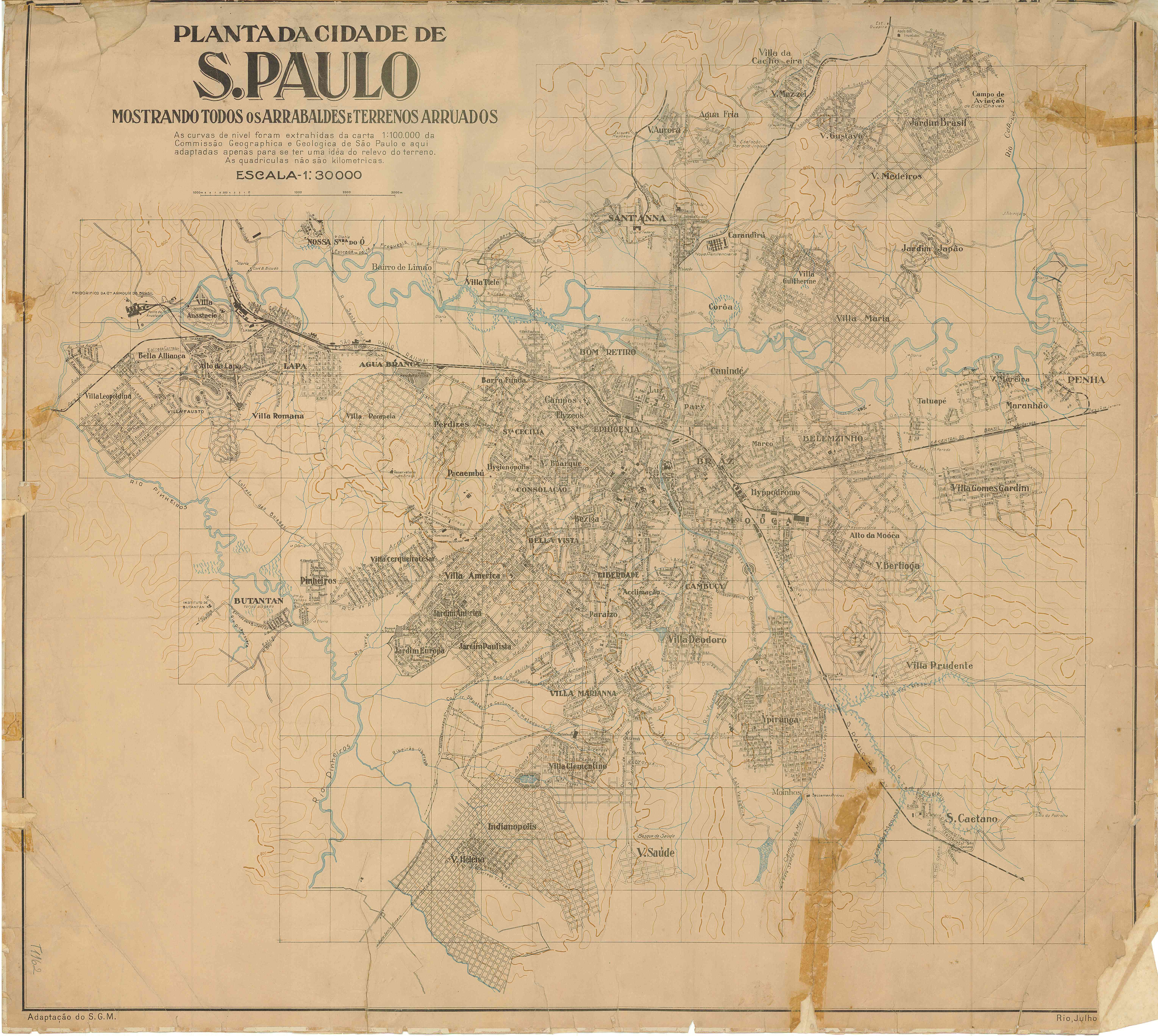
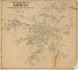
English: Map of the City of São Paulo, 1924. Railway lines in black. Scale 1:30.000
Português: Mapa da Cidade de São Paulo, 1924. Em preto as linhas ferroviárias. Escala 1:30.000 |
|||
| Date | ||||
| Source | Acervo de Antonio Augusto Gorni | |||
| Author | Unknown author | |||
| Permission (Reusing this file) |
|

File history
Click on a date/time to view the file as it appeared at that time.
| Date/Time | Thumbnail | Dimensions | User | Comment | |
|---|---|---|---|---|---|
| current | 01:22, 2 May 2023 | | 6,115 × 5,469 (2.44 MB) | Serraria (talk | contribs) | Better resolution version from http://smul.prefeitura.sp.gov.br/historico_demografico/1920.php |
| 22:58, 18 June 2010 |  | 3,800 × 3,399 (1.64 MB) | Meloaraujo (talk | contribs) | {{Information |Description={{en|1=ds}} {{pt|1=ds}} |Source=Acervo de |Author=a |Date=1924 |Permission= |other_versions= }} |
You cannot overwrite this file.
File usage on Commons
The following 3 pages use this file:
File usage on other wikis
The following other wikis use this file:
- Usage on en.wikipedia.org
- Usage on es.wikipedia.org
- Usage on fr.wikipedia.org
- Usage on pt.wikipedia.org