File:Mapa karlikowa 1825.jpg
Jump to navigation
Jump to search
Size of this preview: 412 × 599 pixels. Other resolutions: 165 × 240 pixels | 330 × 480 pixels | 528 × 768 pixels | 1,216 × 1,768 pixels.
Original file (1,216 × 1,768 pixels, file size: 291 KB, MIME type: image/jpeg)
Captions
Captions
Add a one-line explanation of what this file represents
Summary[edit]
| Description |
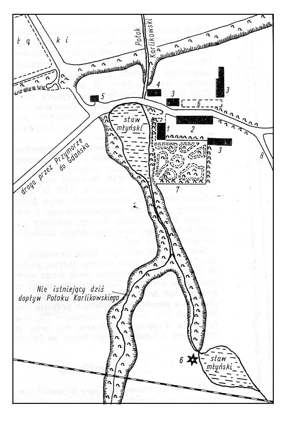
English: Map of Karlikowo from 1825
Polski: Mapa Karlikowa z roku 1825
|
| Date | |
| Source | Template:Franciszek Mamuszka, Bedeker sopocki, Gdańsk, 1982 |
| Author | KarliSopo |
[Franciszek Mamuszka, Bedeker sopocki, Gdańsk, 1982]
Licensing[edit]
| I, the copyright holder of this work, release this work into the public domain. This applies worldwide. In some countries this may not be legally possible; if so: I grant anyone the right to use this work for any purpose, without any conditions, unless such conditions are required by law. |
File history
Click on a date/time to view the file as it appeared at that time.
| Date/Time | Thumbnail | Dimensions | User | Comment | |
|---|---|---|---|---|---|
| current | 18:05, 10 July 2010 | | 1,216 × 1,768 (291 KB) | KarliSopo (talk | contribs) | centrized picture |
| 17:59, 10 July 2010 |  | 1,216 × 1,768 (310 KB) | KarliSopo (talk | contribs) | {{Information |Description={{en|1=Map of Karlikowo from 1825}} {{pl|1=Mapa Karlikowa z roku 1825}} |Source={{Franciszek Mamuszka, Bedeker sopocki, Gdańsk, 1982}} |Author=KarliSopo |Date=1825 |Permission= |other_versions= }} [Franciszek |
You cannot overwrite this file.
File usage on Commons
There are no pages that use this file.
File usage on other wikis
The following other wikis use this file:
- Usage on pl.wikipedia.org