File:Mexico Zacatecas location map (urban areas).svg
Jump to navigation
Jump to search

Size of this PNG preview of this SVG file: 491 × 599 pixels. Other resolutions: 197 × 240 pixels | 393 × 480 pixels | 629 × 768 pixels | 839 × 1,024 pixels | 1,678 × 2,048 pixels | 2,837 × 3,462 pixels.
Original file (SVG file, nominally 2,837 × 3,462 pixels, file size: 6.66 MB)
Captions
Captions
Add a one-line explanation of what this file represents
Summary
[edit].svg&action=edit§ion=1)
| Description |
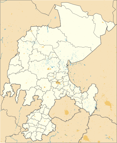
English: Urban areas in Zacatecas, Mexico. |
| Date | |
| Source |
|
| Author | Addicted04 |
Licensing
[edit].svg&action=edit§ion=2)
I, the copyright holder of this work, hereby publish it under the following license:
This file is licensed under the Creative Commons Attribution 4.0 International license.
- You are free:
- to share – to copy, distribute and transmit the work
- to remix – to adapt the work
- Under the following conditions:
- attribution – You must give appropriate credit, provide a link to the license, and indicate if changes were made. You may do so in any reasonable manner, but not in any way that suggests the licensor endorses you or your use.
File history
Click on a date/time to view the file as it appeared at that time.
| Date/Time | Thumbnail | Dimensions | User | Comment | |
|---|---|---|---|---|---|
| current | 07:23, 13 October 2018 | | 2,837 × 3,462 (6.66 MB) | Addicted04 (talk | contribs) | FIX |
| 03:21, 13 October 2018 |  | 2,834 × 3,459 (6.79 MB) | Addicted04 (talk | contribs) | User created page with UploadWizard |
You cannot overwrite this file.
File usage on Commons
There are no pages that use this file.
File usage on other wikis
The following other wikis use this file:
- Usage on en.wikipedia.org
- Usage on es.wikipedia.org
- Zacatecas (Zacatecas)
- Apulco (Zacatecas)
- Tacoaleche
- Sombrerete
- Saín Alto
- Jerez de García Salinas
- Teúl de González Ortega
- Río Grande (Zacatecas)
- Guadalupe (Zacatecas)
- Valparaíso (Zacatecas)
- Anexo:Patrimonio de la Humanidad en México
- Tepechitlán
- Juan Aldama (Zacatecas)
- Momax
- General Juan José Ríos (Zacatecas)
- Ojocaliente
- Nochistlán de Mejía
- Aeropuerto Internacional de Zacatecas
- Villanueva (Zacatecas)
- Milpillas de Allende
- Zóquite
- Catedral basílica de la Asunción de María (Zacatecas)
- Gualterio
- Agua Gorda
- El Remolino
- Los Haro
- Cañitas de Felipe Pescador
- Pinos (Zacatecas)
- Fresnillo
- El Salvador (Zacatecas)
- Plantilla:Mapa de localización de Zacatecas
- Susticacán
- Apizolaya
- Santuario de Plateros
- El Lobo (Zacatecas)
- Miguel Auza (Zacatecas)
- Huiscolco
- Monte Escobedo
- Pedregoso (Zacatecas)
- Anexo:Pueblos mágicos
- Salaverna
- Villa Insurgentes
- Palmarejo (Zacatecas)
- Plateros (Zacatecas)
- Anexo:Localidades de Zacatecas
- Víctor Rosales (Zacatecas)
- San Pedro Piedra Gorda
- Felipe Berriozábal (Estación Berriozábal)
- Piedra Gorda (Zacatecas)
View more global usage of this file.
.svg)
.svg&oldid=472307655)