File:Mig-22 1.JPG
Jump to navigation
Jump to search
Size of this preview: 800 × 465 pixels. Other resolutions: 320 × 186 pixels | 640 × 372 pixels | 1,024 × 595 pixels | 1,280 × 743 pixels | 2,168 × 1,259 pixels.
Original file (2,168 × 1,259 pixels, file size: 1.03 MB, MIME type: image/jpeg)
Captions
Captions
Add a one-line explanation of what this file represents
Summary[edit]
| Description |
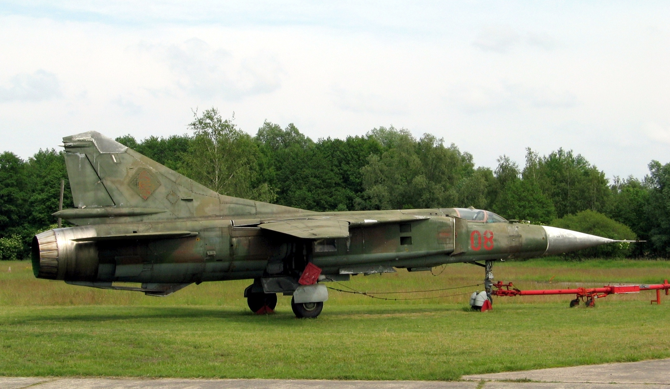
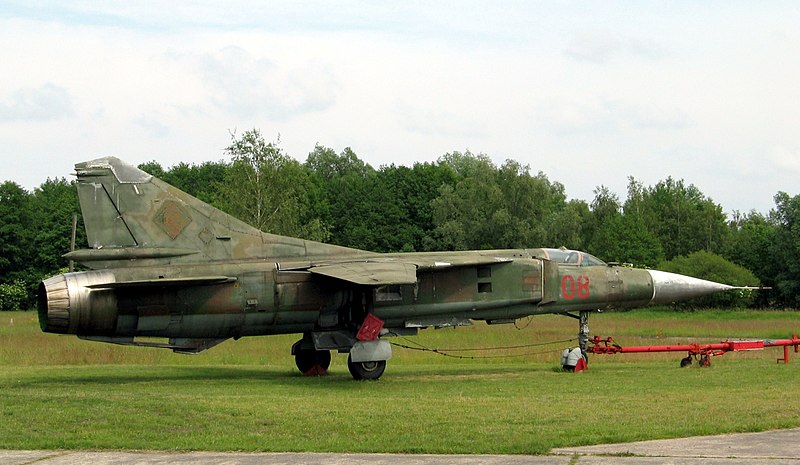
Deutsch: Samoljot 23/Mig-23 |
| Date | |
| Source | Self-photographed |
| Author | Steffen Hertel (Harka2 at German Wikipedia) |
| Permission (Reusing this file) |
CC-by-sa Ich habe das Bild gemacht und will es veröffentlichen. |
| Camera location | | View this and other nearby images on: OpenStreetMap |
|---|
Licensing[edit]
This file is licensed under the Creative Commons Attribution-Share Alike 3.0 Unported license.
- You are free:
- to share – to copy, distribute and transmit the work
- to remix – to adapt the work
- Under the following conditions:
- attribution – You must give appropriate credit, provide a link to the license, and indicate if changes were made. You may do so in any reasonable manner, but not in any way that suggests the licensor endorses you or your use.
- share alike – If you remix, transform, or build upon the material, you must distribute your contributions under the same or compatible license as the original.
Original upload log[edit]
The original description page was here. All following user names refer to de.wikipedia.
- 2010-05-05 17:10 Harka2 2168×1259× (1078690 bytes) {{Information |Beschreibung = Samoljot 22/Mig-22 |Quelle = |Urheber = Steffen Hertel |Datum = 9. Juni 2004 |Genehmigung = CC |Andere Versionen = |Anmerkungen = Flugplatzmuseum Niederfinow }}
File history
Click on a date/time to view the file as it appeared at that time.
| Date/Time | Thumbnail | Dimensions | User | Comment | |
|---|---|---|---|---|---|
| current | 18:40, 23 May 2014 | | 2,168 × 1,259 (1.03 MB) | Reise Reise (talk | contribs) | Transferred from de.wikipedia |
You cannot overwrite this file.
File usage on Commons
The following page uses this file:
File usage on other wikis
The following other wikis use this file:
- Usage on de.wikipedia.org