File:Mount Joyama 20100426 (b).jpg
Jump to navigation
Jump to search

Size of this preview: 799 × 599 pixels. Other resolutions: 320 × 240 pixels | 640 × 480 pixels | 1,024 × 768 pixels | 1,333 × 1,000 pixels.
Original file (1,333 × 1,000 pixels, file size: 491 KB, MIME type: image/jpeg)
Captions
Captions
Add a one-line explanation of what this file represents
| Description | |||
| Date | |||
| Source | Own work | ||
| Author | Batholith | ||
| Permission (Reusing this file) |
|
| Camera location | | View this and other nearby images on: OpenStreetMap |
|---|
.jpg¶ms=035.010104_N_0138.951731_E_globe:Earth_type:camera_region:JP_&language=en)
File history
Click on a date/time to view the file as it appeared at that time.
| Date/Time | Thumbnail | Dimensions | User | Comment | |
|---|---|---|---|---|---|
| current | 19:08, 25 July 2010 | | 1,333 × 1,000 (491 KB) | Batholith (talk | contribs) | color |
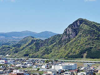
| 16:44, 26 April 2010 |  | 1,024 × 768 (217 KB) | Pontsuku (talk | contribs) | == Summary == {{Information |Description={{ja|1=静岡県伊豆の国市の城山を東から望む}} |Source=Ponsuku |Author=Ponsuku |Date=2010-4-26 |Permission=PD |other_versions= }} == Licensing == {{PD-self}} |
You cannot overwrite this file.
File usage on Commons
The following 2 pages use this file:
- User:Batholith/Gallery 1
- File:IzunokuniCity Jo-yama b.jpg (file redirect)
.jpg&oldid=497025030)