File:NECONF9609.png
Jump to navigation
Jump to search
No higher resolution available.
NECONF9609.png (514 × 411 pixels, file size: 14 KB, MIME type: image/png)
Captions
Captions
Add a one-line explanation of what this file represents
Summary[edit]
| Description | |||
| Source |
|
||
| Author | created by user Caltrop with a public domain mapping program http://www.aquarius.geomar.de/omc/ |

Licensing[edit]
| This image is from Planiglobe. All maps hosted on Planiglobe are licensed under the Creative Commons Attribution 2.5 License, but Planiglobe suggests that they not be used for navigational purposes. For the purposes of this license, this clause is considered a disclaimer and not a license restriction. This file is licensed under the Creative Commons Attribution 2.5 Generic license.
|
File history
Click on a date/time to view the file as it appeared at that time.
| Date/Time | Thumbnail | Dimensions | User | Comment | |
|---|---|---|---|---|---|
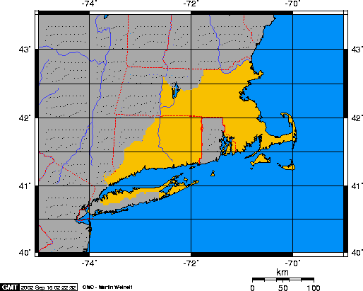
| current | 22:24, 29 November 2006 | | 514 × 411 (14 KB) | Electionworld (talk | contribs) | {{ew|en|Caltrop}} Mercator projection of New England Confederation created by user Caltrop with a public domain mapping program http://www.aquarius.geomar.de/omc/ {{PD-because|it was made with a public domain mapping program [htt |
You cannot overwrite this file.
File usage on Commons
There are no pages that use this file.
File usage on other wikis
The following other wikis use this file:
- Usage on cs.wikipedia.org
- Usage on fr.wikipedia.org