File:National Grid (Britain) WV banner (SN).jpg
Jump to navigation
Jump to search
Size of this preview: 799 × 114 pixels. Other resolutions: 320 × 46 pixels | 640 × 91 pixels | 4,000 × 571 pixels.
Original file (4,000 × 571 pixels, file size: 1.21 MB, MIME type: image/jpeg)
Captions
Captions
Add a one-line explanation of what this file represents
Summary[edit]
| Description |
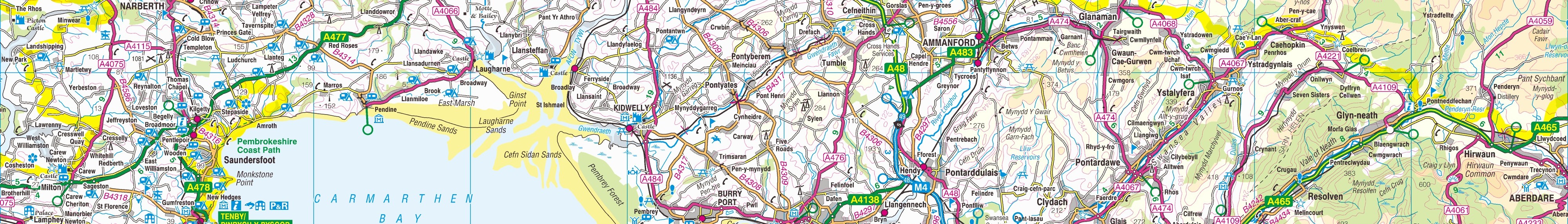
Español: Un mapa de la Ordnance Survey de la zona SN del sistema de referencia británico, en una escala de 1:250.000. Français : Une carte de l'Ordnance Survey de la zone SN dans le système de référence britanique, à l'échelle 1:250.000. Italiano: Una carta della Ordnance Survey della zona SN nella sistema di referenza britannica, con la scala 1:250.000.          |
| Date | 6 June 2010 (upload date) |
| Source | Ordnance Survey OpenData 1:250 000 Scale Colour Raster. Converted from File:Ordnance Survey 1-250000 - SN.tif to jpg |
| Author | Ordnance Survey |
| Other versions |

_WV_banner_(SN).jpg&action=edit§ion=1)
Licensing[edit]
_WV_banner_(SN).jpg&action=edit§ion=2)
This file is licensed by the Ordnance Survey of the United Kingdom under their OS OpenData License
In short: you are free to distribute and modify the file as long as you attribute (including year), the Ordnance Survey. Attribution: Contains Ordnance Survey data © Crown copyright and database right (year) Note: Derivative works can be licensed under any Creative Commons Attribution 3.0 Licence. |
.svg)
|
This file is licensed under the United Kingdom Open Government Licence v3.0. |
See also: Meta for information on usage on Wikimedia wikis.
|
File history
Click on a date/time to view the file as it appeared at that time.
| Date/Time | Thumbnail | Dimensions | User | Comment | |
|---|---|---|---|---|---|
| current | 18:14, 30 April 2017 | 4,000 × 571 (1.21 MB) | Seagull123 (talk | contribs) | File:Ordnance Survey 1-250000 - SN.jpg cropped 86 % vertically using CropTool with precise mode. |
You cannot overwrite this file.
File usage on Commons
The following page uses this file:
File usage on other wikis
The following other wikis use this file:
- Usage on en.wikivoyage.org
- Usage on www.wikidata.org
_WV_banner_(SN).jpg&oldid=504296378)