File:Near Caprock Mountain - Flickr - aspidoscelis (2).jpg
Jump to navigation
Jump to search
Size of this preview: 800 × 533 pixels. Other resolutions: 320 × 213 pixels | 640 × 427 pixels | 1,024 × 683 pixels | 1,280 × 853 pixels | 2,560 × 1,707 pixels | 3,600 × 2,400 pixels.
Original file (3,600 × 2,400 pixels, file size: 4.56 MB, MIME type: image/jpeg)
Captions
Captions
Add a one-line explanation of what this file represents
Summary[edit]
.jpg&action=edit§ion=1)
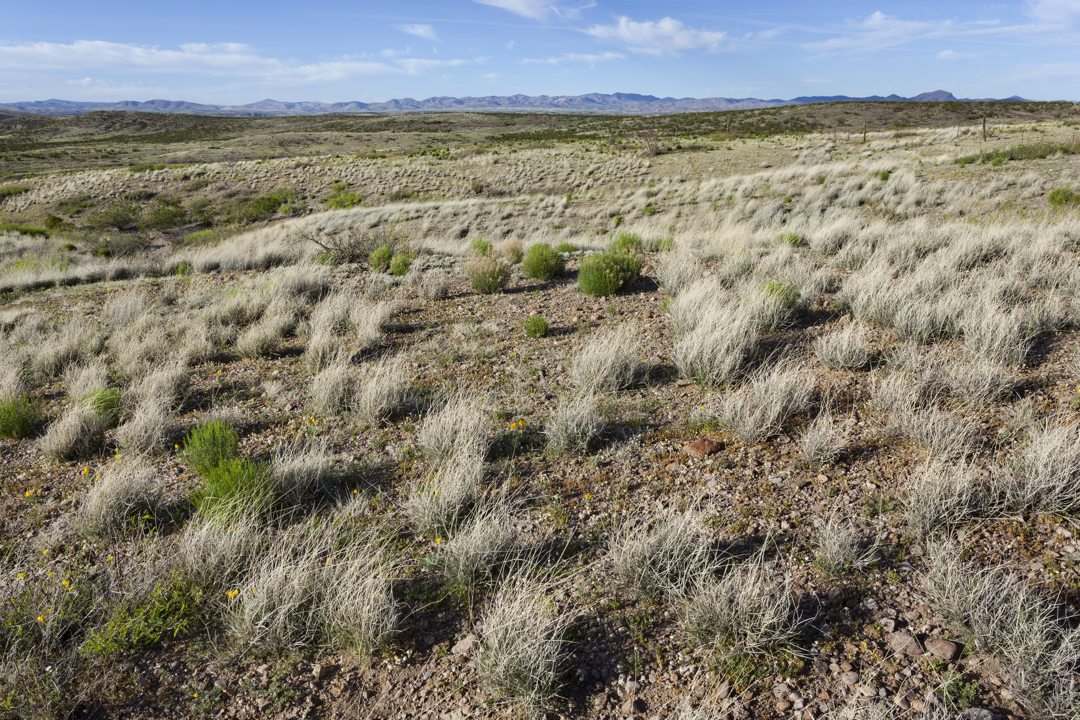
| Description | Between Lordsburg Mesa and the GIla River, north-northeast of Caprock Mountain near Corral Canyon, 32.62700 -108.81594, Hidalgo County, New Mexico, 26 Mar 2017. Spermolepis lateriflora, Antheropeas lanosum, Chaenactis stevioides, Chaetopappa ericoides, Gutierrezia sarothrae, Microseris lindleyi, Rafinesquia neomexicana, Plagiobothrys arizonicus, Descurainia pinnata, Physaria gordonii, Astragalus nuttallianus, Lotus humistratus, Lupinus brevicaulis, Prosopis glandulosa, Erodium cicutarium, Sphaeralcea hastulata, Calandrinia ciliata, Boerhavia triquetra, Oenothera primiveris, Eschscholzia californica, Bouteloua aristidoides, Bouteloua barbata, Bouteloua eriopoda, Dasyochloa pulchella, Muhlenbergia porteri, Pleuraphis mutica, Gilia flavocincta, Androsace occidentalis, etc. |
| Date | |
| Source | Near Caprock Mountain |
| Author | Patrick Alexander from Las Cruces, NM |
| Camera location | | View this and other nearby images on: OpenStreetMap |
|---|
.jpg¶ms=032.627000_N_-108.815940_E_globe:Earth_type:camera_source:Flickr_&language=en)
Licensing[edit]
.jpg&action=edit§ion=2)
| This file is made available under the Creative Commons CC0 1.0 Universal Public Domain Dedication. | |
| The person who associated a work with this deed has dedicated the work to the public domain by waiving all of their rights to the work worldwide under copyright law, including all related and neighboring rights, to the extent allowed by law. You can copy, modify, distribute and perform the work, even for commercial purposes, all without asking permission.
|
| This image was originally posted to Flickr by aspidoscelis at https://flickr.com/photos/26246711@N00/23692322138. It was reviewed on 3 October 2020 by FlickreviewR 2 and was confirmed to be licensed under the terms of the cc-zero. |
File history
Click on a date/time to view the file as it appeared at that time.
| Date/Time | Thumbnail | Dimensions | User | Comment | |
|---|---|---|---|---|---|
| current | 15:08, 3 October 2020 | | 3,600 × 2,400 (4.56 MB) | Josve05a (talk | contribs) | == {{int:filedesc}} == =={{int:filedesc}}== {{Information |Description=Between Lordsburg Mesa and the GIla River, north-northeast of Caprock Mountain near Corral Canyon, 32.62700 -108.81594, Hidalgo County, New Mexico, 26 Mar 2017. ''Spermolepis lateriflora, Antheropeas lanosum, Chaenactis stevioides, Chaetopappa ericoides, Gutierrezia sarothrae, Microseris lindleyi, Rafinesquia neomexicana, Plagiobothrys arizonicus, Descurainia pinnata, Physaria gordonii, Astragalus nuttallianus, Lotus humis... |
You cannot overwrite this file.
File usage on Commons
There are no pages that use this file.
.jpg&oldid=711665902)