File:NorthDevonParishesMap.PNG
Jump to navigation
Jump to search

Size of this preview: 667 × 599 pixels. Other resolutions: 267 × 240 pixels | 534 × 480 pixels | 945 × 849 pixels.
Original file (945 × 849 pixels, file size: 183 KB, MIME type: image/png)
Captions
Captions
Add a one-line explanation of what this file represents
Summary[edit]
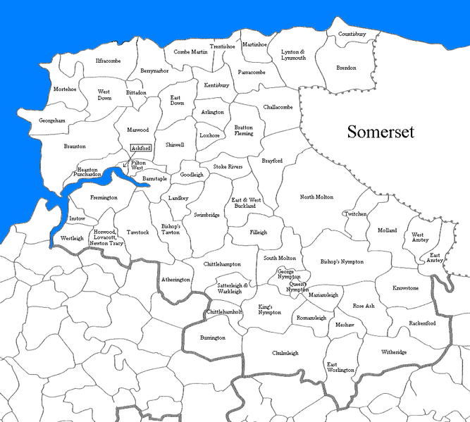
| Description | Parishes of North Devon, based on Kain, Roger & Ravenhill, William, (Eds.), Historical Atlas of South West England, Exeter, 1999, inside front cover |
| Date | |
| Source | Own work |
| Author | (Lobsterthermidor (talk) 15:45, 27 February 2013 (UTC)) |
Licensing[edit]
| I, the copyright holder of this work, release this work into the public domain. This applies worldwide. In some countries this may not be legally possible; if so: I grant anyone the right to use this work for any purpose, without any conditions, unless such conditions are required by law. |
File history
Click on a date/time to view the file as it appeared at that time.
| Date/Time | Thumbnail | Dimensions | User | Comment | |
|---|---|---|---|---|---|
| current | 16:00, 27 February 2013 | | 945 × 849 (183 KB) | Lobsterthermidor (talk | contribs) | Higher resolution |
| 15:45, 27 February 2013 |  | 945 × 849 (124 KB) | Lobsterthermidor (talk | contribs) | {{Information |Description=Parishes of North Devon, based on Kain, Roger & Ravenhill, William, (Eds.), Historical Atlas of South West England, Exeter, 1999, inside front cover |Source=Own work |Date=2013 |Author=(~~~~) |Permission= |other_versions= }} ... |
You cannot overwrite this file.
File usage on Commons
The following page uses this file:
File usage on other wikis
The following other wikis use this file:
- Usage on en.wikipedia.org
- Usage on es.wikipedia.org
- Usage on pl.wikipedia.org
- Usage on ro.wikipedia.org
- Usage on www.wikidata.org
- Usage on zh-min-nan.wikipedia.org