File:Northwest along Johns Valley Road near Tropic Junction, Oct 17.jpg
Jump to navigation
Jump to search
Size of this preview: 800 × 600 pixels. Other resolutions: 320 × 240 pixels | 640 × 480 pixels | 1,024 × 768 pixels | 1,280 × 960 pixels | 2,592 × 1,944 pixels.
Original file (2,592 × 1,944 pixels, file size: 2.42 MB, MIME type: image/jpeg)
Captions
Captions
Add a one-line explanation of what this file represents
Summary[edit]
| Description |
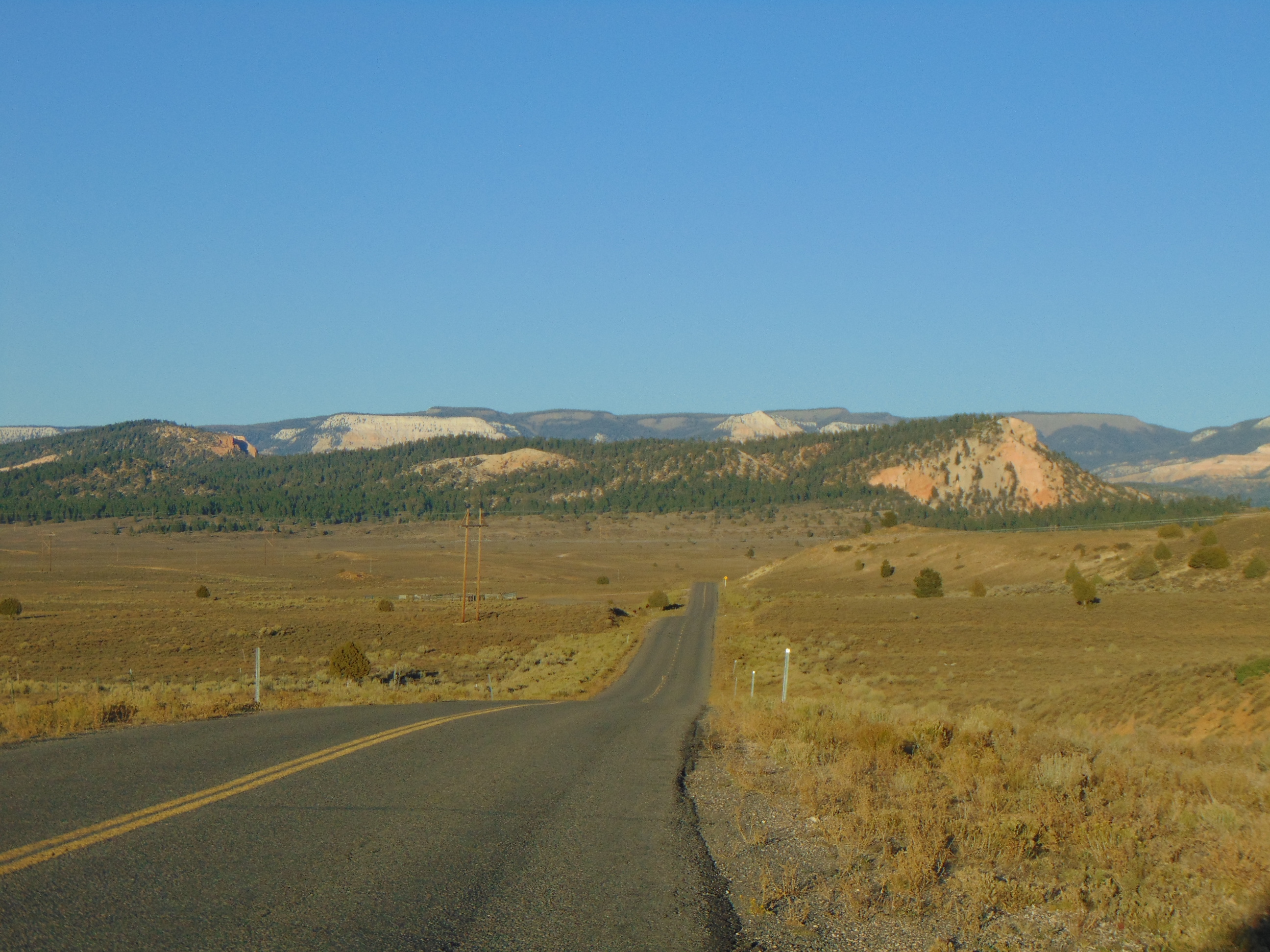
English: Looking northwest along Johns Valley Road from a point approximately 0.9 miles (1.4 km) Northeast of Tropic Junction (the junction of Utah State Route 12, Utah State Route 63, and Johns Valley Road) in Garfield County, Utah, October 2017. The entire length of Johns Valley Road was previously part of Utah State Route 22, until the section between Tropic Junction and Antimony Creek (just south of Antimony) was removed in 1969. |
| Date | Taken on 9 October 2017, 18:29:37 |
| Source | Own work |
| Author | An Errant Knight |
Licensing[edit]
I, the copyright holder of this work, hereby publish it under the following license:
This file is licensed under the Creative Commons Attribution-Share Alike 4.0 International license.
- You are free:
- to share – to copy, distribute and transmit the work
- to remix – to adapt the work
- Under the following conditions:
- attribution – You must give appropriate credit, provide a link to the license, and indicate if changes were made. You may do so in any reasonable manner, but not in any way that suggests the licensor endorses you or your use.
- share alike – If you remix, transform, or build upon the material, you must distribute your contributions under the same or compatible license as the original.
File history
Click on a date/time to view the file as it appeared at that time.
| Date/Time | Thumbnail | Dimensions | User | Comment | |
|---|---|---|---|---|---|
| current | 09:34, 19 December 2017 | | 2,592 × 1,944 (2.42 MB) | An Errant Knight (talk | contribs) | User created page with UploadWizard |
You cannot overwrite this file.
File usage on Commons
The following 2 pages use this file:
File usage on other wikis
The following other wikis use this file:
- Usage on ceb.wikipedia.org
- Usage on www.wikidata.org