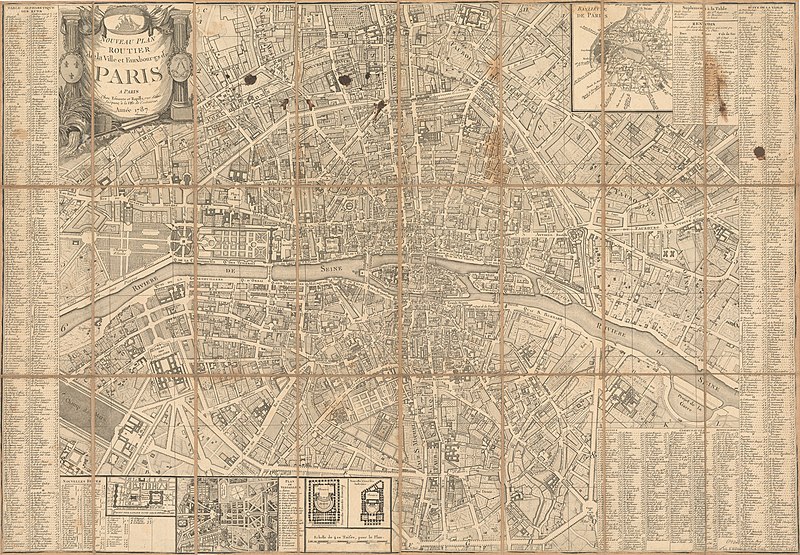
File:Nouveau plan routier de la ville et fauxbourgs de Paris, 1787 - Stanford Libraries 2.jpg

From Wikimedia Commons, the free media repository
Jump to navigation Jump to search

Original file(12,480 × 8,662 pixels, file size: 22.85 MB, MIME type: image/jpeg)

Captions

Captions

Add a one-line explanation of what this file represents

Summary[edit]

Warning The original file is very high-resolution. It might not load properly or could cause your browser to freeze when opened at full size.
Title
Nouveau plan routier de la ville et fauxbourgs de Paris
Description
English: Margins include alphabetical indexes to streets and church parishes, and tables containing assorted civic information. Insets: Banlieue de Paris -- Projet pour la place d'une salle d'opera à Paris -- Plan de Versailles -- Nouvelle Comédie Franc̦oise -- Nouvelle Comédie Italienne.
Date
Source Stanford Libraries
Creator
Jacques Esnault (1739-1812) & Michel Rapilly (1740-1797?)
Georeferencing Georeference the map in Wikimaps Warper If inappropriate please set warp_status = skip to hide.
 Bibliographic data
Printed by
A Paris : Chez Esnauts et Rapilly, rue Saint Jacques, à la Ville de Coutances, Année 1787.
 Archival data
Stanford Libraries
Medium 1 map
Other versions


Licensing[edit]

Public domain

This work is in the public domain in its country of origin and other countries and areas where the copyright term is the author's life plus 100 years or fewer.


You must also include a United States public domain tag to indicate why this work is in the public domain in the United States.

File history

Click on a date/time to view the file as it appeared at that time.

Date/TimeThumbnailDimensionsUserComment
current17:11, 8 July 2020Thumbnail for version as of 17:11, 8 July 202012,480 × 8,662 (22.85 MB)Paris 16 (talk | contribs)Uploaded own work with UploadWizard