File:Nuvole basse - panoramio (1).jpg
Jump to navigation
Jump to search
Size of this preview: 800 × 533 pixels. Other resolutions: 320 × 213 pixels | 640 × 427 pixels | 1,024 × 683 pixels | 1,280 × 853 pixels | 2,400 × 1,600 pixels.
Original file (2,400 × 1,600 pixels, file size: 950 KB, MIME type: image/jpeg)
Captions
Captions
Add a one-line explanation of what this file represents
Summary[edit]
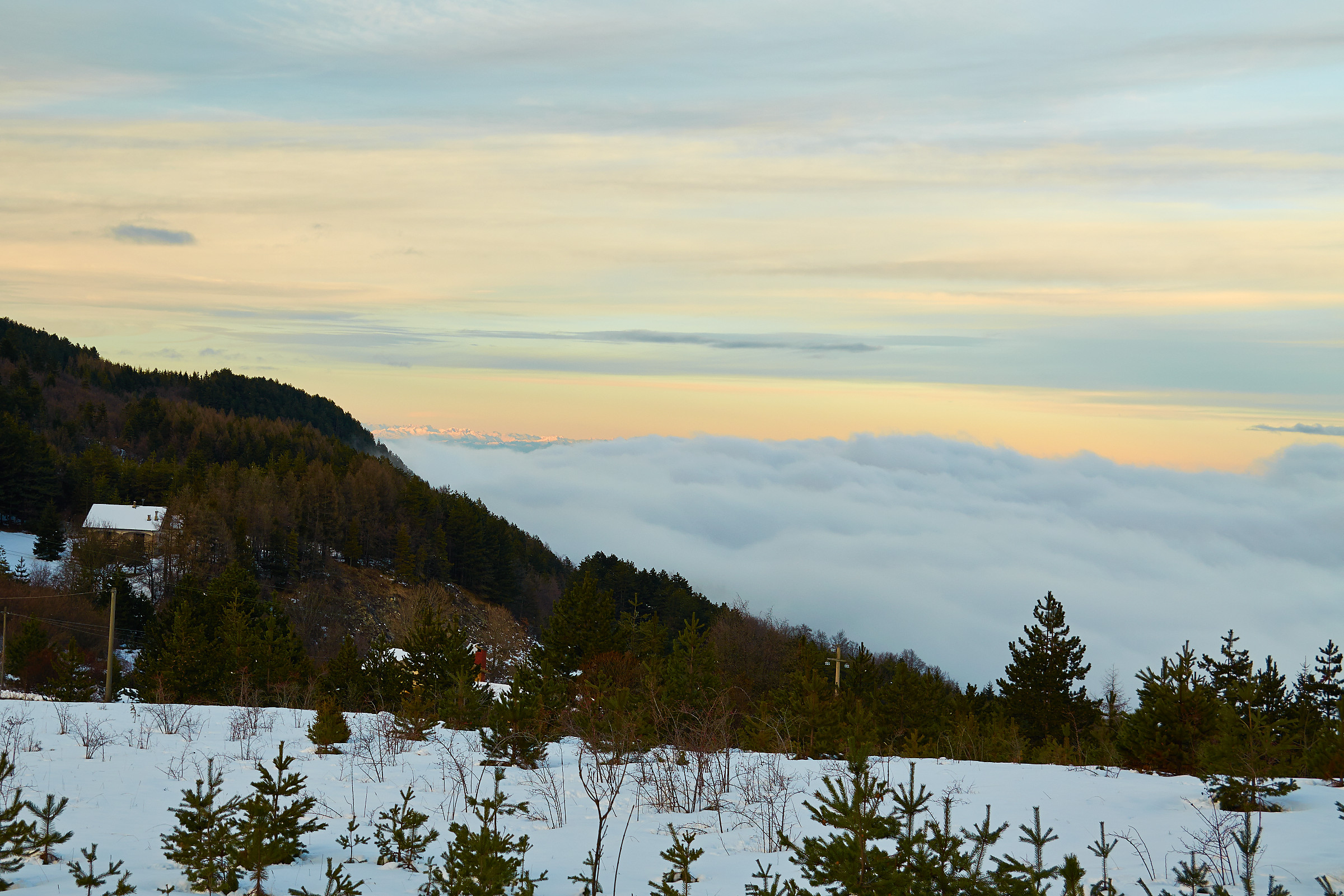
| Description | Nuvole basse | ||
| Date | Taken on 6 February 2014 | ||
| Source | https://web.archive.org/web/20161029001851/http://www.panoramio.com/photo/102869875 | ||
| Author | Terensky | ||
| Permission (Reusing this file) |
This file is licensed under the Creative Commons Attribution 3.0 Unported license. Attribution: Terensky
|
||
| Tags (from Panoramio photo page) | Menconico, Lombardia, Menconico, Oltrepo Pavese |
| Camera location | | View this and other nearby images on: OpenStreetMap |
|---|

.jpg&action=edit§ion=1)
.jpg¶ms=044.802341_N_0009.313282_E_globe:Earth_type:camera_source:Panoramio_&language=en)
.jpg&action=edit&withJS=MediaWiki:Catcheck.js)
File history
Click on a date/time to view the file as it appeared at that time.
| Date/Time | Thumbnail | Dimensions | User | Comment | |
|---|---|---|---|---|---|
| current | 03:50, 20 March 2017 | | 2,400 × 1,600 (950 KB) | Panoramio upload bot (talk | contribs) | == {{int:filedesc}} == {{Information |description=Nuvole basse |date={{Taken on|2014-02-06}} |source=http://www.panoramio.com/photo/102869875 |author=[http://www.panoramio.com/user/4616731?with_photo_id=102869875 Terensky] |permission={{cc-by-3.0|Teren... |
You cannot overwrite this file.
File usage on Commons
There are no pages that use this file.
.jpg&oldid=625723773)