File:Old Track Meets New in Glen Mallie - geograph.org.uk - 1105719.jpg
Jump to navigation
Jump to search
No higher resolution available.
Old_Track_Meets_New_in_Glen_Mallie_-_geograph.org.uk_-_1105719.jpg (640 × 480 pixels, file size: 86 KB, MIME type: image/jpeg)
Captions
Captions
Add a one-line explanation of what this file represents
Summary[edit]
| Description |
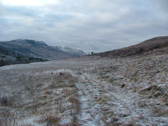
English: Old Track Meets New in Glen Mallie The old track (the only track on the current OS maps) was easily navigable, and gentler underfoot than the rather harsh new one. I suspect that once the ice thaws the latter will be friendlier! In the middle distance the two meet beneath a stand of scots pine. |
| Date | |
| Source | From geograph.org.uk |
| Author | Richard Laybourne |
| Attribution (required by the license) | Richard Laybourne / Old Track Meets New in Glen Mallie / |
| Camera location | | View this and other nearby images on: OpenStreetMap |
|---|
| Object location | | View this and other nearby images on: OpenStreetMap |
|---|
Licensing[edit]

|
This image was taken from the Geograph project collection. See this photograph's page on the Geograph website for the photographer's contact details. The copyright on this image is owned by Richard Laybourne and is licensed for reuse under the Creative Commons Attribution-ShareAlike 2.0 license.
|
This file is licensed under the Creative Commons Attribution-Share Alike 2.0 Generic license.
Attribution: Richard Laybourne
- You are free:
- to share – to copy, distribute and transmit the work
- to remix – to adapt the work
- Under the following conditions:
- attribution – You must give appropriate credit, provide a link to the license, and indicate if changes were made. You may do so in any reasonable manner, but not in any way that suggests the licensor endorses you or your use.
- share alike – If you remix, transform, or build upon the material, you must distribute your contributions under the same or compatible license as the original.

_heading:247.00&language=en)
_heading:247.00&language=en)
File history
Click on a date/time to view the file as it appeared at that time.
| Date/Time | Thumbnail | Dimensions | User | Comment | |
|---|---|---|---|---|---|
| current | 18:24, 24 February 2011 | | 640 × 480 (86 KB) | GeographBot (talk | contribs) | == {{int:filedesc}} == {{Information |description={{en|1=Old Track Meets New in Glen Mallie The old track (the only track on the current OS maps) was easily navigable, and gentler underfoot than the rather harsh new one. I suspect that once the ice thaws |
You cannot overwrite this file.
File usage on Commons
There are no pages that use this file.