File:Oost-antarctica.png
Jump to navigation
Jump to search

Size of this preview: 800 × 564 pixels. Other resolutions: 320 × 226 pixels | 640 × 451 pixels | 1,024 × 722 pixels | 1,280 × 902 pixels.
Original file (1,280 × 902 pixels, file size: 542 KB, MIME type: image/png)
Captions
Captions
Add a one-line explanation of what this file represents
Summary[edit]
| Description |
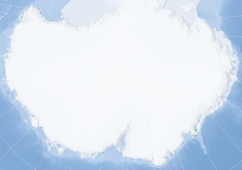
English: Almost blank map of East Antarctica
Nederlands: Vrijwel lege kaart van Oost-Antarctica |
| Date | (UTC) |
| Source | Map derived from Marble (v 0.5.1); an application that is released under the LGPL. |
| Author | Jeroen |
| Camera location | | View this and other nearby images on: OpenStreetMap |
|---|
Licensing[edit]

|
This library is free software; you can redistribute it and/or modify it under the terms of the GNU Lesser General Public License as published by the Free Software Foundation; either version 2.1 of the License, or (at your option) any later version. This library is distributed in the hope that it will be useful, but without any warranty; without even the implied warranty of merchantability or fitness for a particular purpose. See version 2.1 and version 3 of the GNU Lesser General Public License for more details. |
File history
Click on a date/time to view the file as it appeared at that time.
| Date/Time | Thumbnail | Dimensions | User | Comment | |
|---|---|---|---|---|---|
| current | 23:45, 29 May 2008 | | 1,280 × 902 (542 KB) | Jeroen (talk | contribs) | {{Information |Description={{en|1=Almost blank map of East Antarctica}} {{nl|1=Vrijwel lege kaart van Oost-Antarctica}} |Source=Map derived from Marble (v 0.5.1); an application that is |
You cannot overwrite this file.
File usage on Commons
There are no pages that use this file.
File usage on other wikis
The following other wikis use this file:
- Usage on ar.wikipedia.org
- Usage on ast.wikipedia.org
- Usage on be.wikipedia.org
- Usage on ca.wikipedia.org
- Usage on es.wikipedia.org
- Usage on fr.wikipedia.org
- Usage on ja.wikipedia.org
- Usage on ko.wikipedia.org
- Usage on lv.wikipedia.org
- Usage on nl.wikipedia.org
- Usage on sv.wikipedia.org
- Usage on wuu.wikipedia.org
- Usage on zh.wikipedia.org