File:OpenStreetMapTracklogsHedgeEnd.png
Jump to navigation
Jump to search

Size of this preview: 611 × 600 pixels. Other resolutions: 245 × 240 pixels | 489 × 480 pixels | 642 × 630 pixels.
Original file (642 × 630 pixels, file size: 16 KB, MIME type: image/png)
Captions
Captions
Add a one-line explanation of what this file represents
| Description |
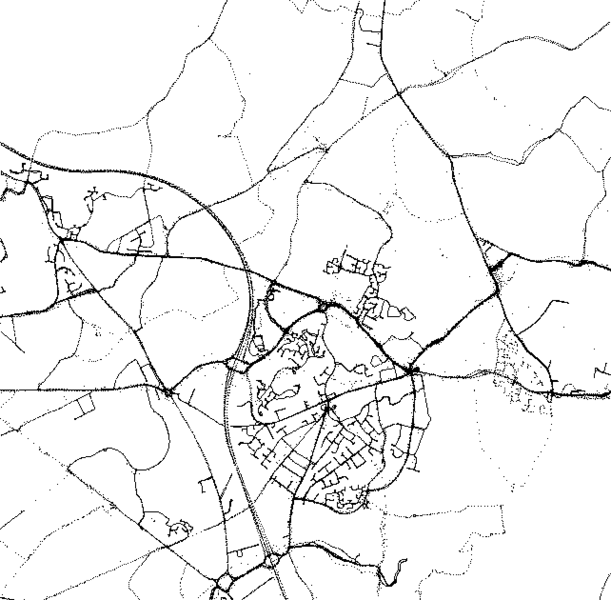
This map was created from OpenStreetMap project data, collected by the community. This map may be incomplete, and may contain errors. Don't rely solely on it for navigation. |
| Date | (see file history) |
| Source | You may find a page on the OpenStreetMap wiki page for Hedge End |
| Creator |
OpenStreetMap contributors |
| Permission (Reusing this file) |
OpenStreetMap data and maps are licensed under the Creative Commons Attribution-ShareAlike 2.0 license (CC-BY-SA 2.0). This file is licensed under the Creative Commons Attribution-Share Alike 2.0 Generic license.
|
| Georeferencing | If inappropriate please set warp_status = skip to hide. |
File history
Click on a date/time to view the file as it appeared at that time.
| Date/Time | Thumbnail | Dimensions | User | Comment | |
|---|---|---|---|---|---|
| current | 00:09, 30 June 2007 | | 642 × 630 (16 KB) | Iainf (talk | contribs) | Adjusted contrast, converted to greyscale, and optimised with optiPNG |
| 14:38, 1 October 2006 |  | 642 × 630 (29 KB) | Ojw~commonswiki (talk | contribs) | {{openstreetmap}} {{CC-BY-SA 2.0}} |
You cannot overwrite this file.
File usage on Commons
There are no pages that use this file.
File usage on other wikis
The following other wikis use this file:
- Usage on azb.wikipedia.org
- Usage on da.wikipedia.org
- Usage on en.wikipedia.org
- Usage on es.wikipedia.org
- Usage on he.wikipedia.org
- Usage on it.wikipedia.org
- Usage on ja.wikipedia.org
- Usage on km.wikipedia.org
- Usage on no.wikipedia.org
- Usage on pt.wikipedia.org
- Usage on sl.wikipedia.org