File:Outline Map of Babayevsky District (Vologda Oblast, 2009).svg
Jump to navigation
Jump to search

Size of this PNG preview of this SVG file: 143 × 228 pixels. Other resolutions: 150 × 240 pixels | 301 × 480 pixels | 481 × 768 pixels | 642 × 1,024 pixels | 1,284 × 2,048 pixels.
Original file (SVG file, nominally 143 × 228 pixels, file size: 38 KB)
Captions
Captions
Add a one-line explanation of what this file represents
Summary
[edit]| Description |
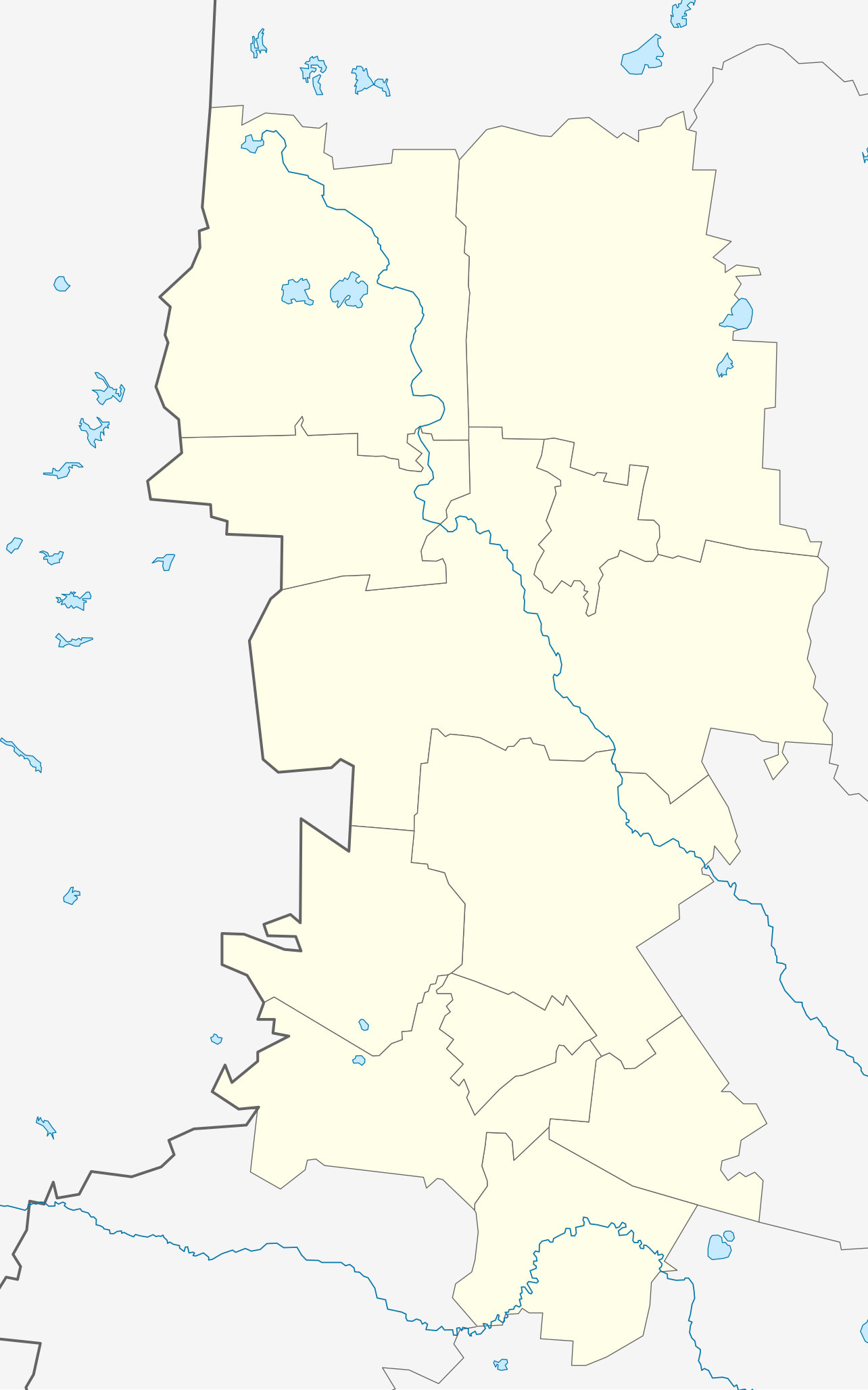
Русский: Позиционная карта Бабаевского района Вологодской области, 2009 год Равноугольная проекция, растяжение — 200 %. Координаты краёв:
|
| Date | |
| Source |
|
| Author | Виктор В |
| Other versions |
Derivative works of this file: Babayevsky District, Vologda Oblast, 2009.svg
[]
|
.svg)
.svg)
.svg&action=edit§ion=1)
Licensing
[edit].svg&action=edit§ion=2)
| I, the copyright holder of this work, release this work into the public domain. This applies worldwide. In some countries this may not be legally possible; if so: I grant anyone the right to use this work for any purpose, without any conditions, unless such conditions are required by law. |
File history
Click on a date/time to view the file as it appeared at that time.
| Date/Time | Thumbnail | Dimensions | User | Comment | |
|---|---|---|---|---|---|
| current | 18:26, 5 August 2010 | | 143 × 228 (38 KB) | Виктор В (talk | contribs) | == {{int:filedesc}} == {{Information |Description={{ru|1=Позиционная карта Бабаевского района Вологодской области, 2009 год<br>Равноугольная проекция, растяжение — 200 |
You cannot overwrite this file.
File usage on Commons
The following 4 pages use this file:
File usage on other wikis
The following other wikis use this file:
- Usage on fi.wikipedia.org
- Usage on fr.wikipedia.org
- Usage on ru.wikipedia.org
- Бабаево
- Борисово-Судское
- Шаблон:ПозКарта Россия Вологодская область Бабаевский район
- Внина (река)
- Алексеевская (Бабаевский район)
- Григорьевская (Бабаевский район)
- Заречье (Бабаевский район)
- Колошма (посёлок)
- Красная Гора (Бабаевский район)
- Макарьевская (Вологодская область)
- Нижняя Ножема
- Никитинская (Бабаевский район)
- Погорелая (Вологодская область)
- Пяжелка (посёлок)
- Тарасовская (Бабаевский район)
- Яковлевская (Бабаевский район)
- Аксёново (Бабаевский район)
- Артёмово (Бабаевский район)
- Берег (Бабаевский район)
- Васино (Бабаевский район)
- Вирино (Вологодская область)
- Горка (Комоневский сельсовет)
- Гридино (Комоневский сельсовет)
- Дуново (Вологодская область)
- Кийно
- Киндаево
- Конец (Бабаевский район)
- Красная Горка (Бабаевский район)
- Лабино (Вологодская область)
- Мамаево (Вологодская область)
- Марково (Бабаевский район)
- Межерье
- Никонова Гора
- Новинка (Тимошинский сельсовет)
- Новосерково
- Носково (Бабаевский район)
- Панкратово (Бабаевский район)
- Подберезка
- Пустошка (Куйский национальный вепсский сельсовет)
- Ракуново
- Савинская (Бабаевский район)
- Саутино (Бабаевский район)
- Сергеево (Бабаевский район)
- Слобода (Куйский национальный вепсский сельсовет)
- Стунино
- Тимошино (Бабаевский район)
- Туржино
- Угловая (Бабаевский район)
View more global usage of this file.
.svg)
.svg&oldid=456215220)