File:Outline Map of Franz Josef Land.svg
Jump to navigation
Jump to search

Size of this PNG preview of this SVG file: 360 × 256 pixels. Other resolutions: 320 × 228 pixels | 640 × 455 pixels | 1,024 × 728 pixels | 1,280 × 910 pixels | 2,560 × 1,820 pixels.
Original file (SVG file, nominally 360 × 256 pixels, file size: 618 KB)
Captions
Captions
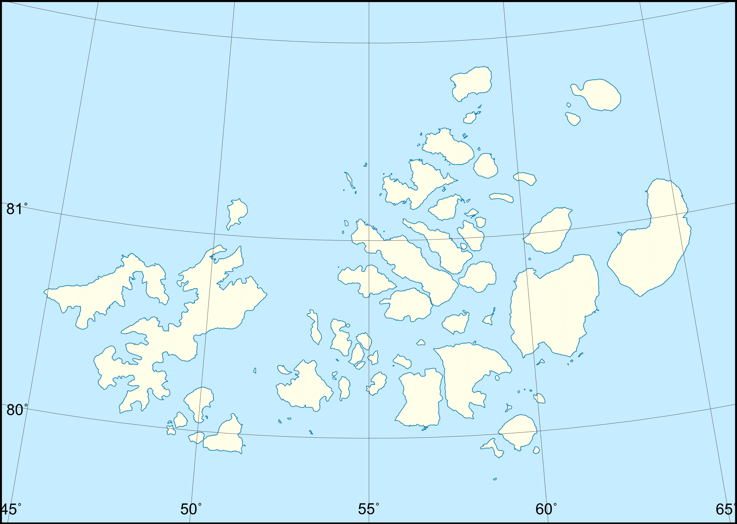
Outline Map of Franz Josef Land
Summary[edit]
| Description |
Русский: Позиционная карта -- Земля Франца-Иосифа, Россия.
|
| Date | |
| Source |
|
| Author | Nzeemin |
| Other versions |
|

Licensing[edit]
I, the copyright holder of this work, hereby publish it under the following license:
This file is licensed under the Creative Commons Attribution-Share Alike 3.0 Unported license.
- You are free:
- to share – to copy, distribute and transmit the work
- to remix – to adapt the work
- Under the following conditions:
- attribution – You must give appropriate credit, provide a link to the license, and indicate if changes were made. You may do so in any reasonable manner, but not in any way that suggests the licensor endorses you or your use.
- share alike – If you remix, transform, or build upon the material, you must distribute your contributions under the same or compatible license as the original.
Source code[edit]
Here is the "!make_bounds.bat" script file used to produce the Oblast_bounds.eps file. After that, GS was used to convert it to PDF, and then Inkscape to convert to SVG and replacing texts with curves.
cd bin

set GMTBIN=C:\programs\GMT5\bin
set WORKDIR=C:\programs\GMT5
set GSBIN=C:\PROGRA~1\gs\gs9.04/bin

set COORDS=44.8/79.4/68.5/82.0
rem width = xmaxsvg / 150.0 * 2.54
set PAPERX=10.16
rem height = ymaxsvg / 150.0 * 2.54
set PAPERY=7.23
set PROJNCOORDS=-JA55/80.8/4i -R%COORDS%r

%GMTBIN%\gmtset GRID_PEN_PRIMARY = 0.1p,#404040

%GMTBIN%\pscoast.exe %PROJNCOORDS% -Na -Bg5/g1 -Ia/0.25p,#0978AB -W0.25,#0978AB -S#C6ECFF -G#FEFEE9 -Df -P --PAPER_MEDIA=Custom_%PAPERX%cx%PAPERY%c -X0 -Y0 -K > %WORKDIR%\Oblast_bounds.eps
if not errorlevel 0 goto End

%GMTBIN%\psbasemap %PROJNCOORDS% -Ba5S --PLOT_DEGREE_FORMAT=ddd:mm --ANNOT_FONT_SIZE_PRIMARY=6p -P --MAP_ANNOT_OFFSET_PRIMARY=0 --PAPER_MEDIA=Custom_%PAPERX%cx%PAPERY%c --OBLIQUE_ANNOTATION=6 --BASEMAP_FRAME_RGB=+9/120/171 --FRAME_PEN=0p,0_100:0p --TICK_PEN=0p,0_100:0p --TICK_LENGTH=-0.3c -X0 -Y0 -O -K >> %WORKDIR%\Oblast_bounds.eps
if not errorlevel 0 goto End
%GMTBIN%\psbasemap %PROJNCOORDS% -Ba1W --PLOT_DEGREE_FORMAT=ddd:mm --ANNOT_FONT_SIZE_PRIMARY=6p -P --MAP_ANNOT_OFFSET_PRIMARY=0 --PAPER_MEDIA=Custom_%PAPERX%cx%PAPERY%c --OBLIQUE_ANNOTATION=6 --BASEMAP_FRAME_RGB=+9/120/171 --FRAME_PEN=0p,0_100:0p --TICK_PEN=0p,0_100:0p --TICK_LENGTH=-0.4c -X0 -Y0 -O >> %WORKDIR%\Oblast_bounds.eps
if not errorlevel 0 goto End

%GSBIN%\gswin32c.exe -dSAFER -dBATCH -dNOPAUSE -dGraphicsAlphaBits=4 -sDEVICE=pngalpha -dEPSCrop -r150 -sOutputFile=%WORKDIR%/Oblast_bounds.png %WORKDIR%\Oblast_bounds.eps

cd ..
File history
Click on a date/time to view the file as it appeared at that time.
| Date/Time | Thumbnail | Dimensions | User | Comment | |
|---|---|---|---|---|---|
| current | 09:37, 17 October 2018 | | 360 × 256 (618 KB) | RosssW (talk | contribs) | Peninsula is an island https://ru.wikipedia.org/wiki/Остров_Юрия_Кучиева |
| 12:26, 10 March 2012 |  | 360 × 256 (612 KB) | Nzeemin (talk | contribs) |
You cannot overwrite this file.
File usage on Commons
The following page uses this file:
File usage on other wikis
The following other wikis use this file:
- Usage on az.wikipedia.org
- Usage on be.wikipedia.org
- Usage on de.wikipedia.org
- Usage on es.wikipedia.org
- Usage on fr.wikipedia.org
- Usage on hr.wikipedia.org
- Usage on hu.wikipedia.org
- Usage on ja.wikipedia.org
- ヘイス島
- グレエムベル島
- ノルトブルク島
- エヴァ・リヴ島
- ルドルフ島
- フリゲリ岬
- アデレード島 (ロシア連邦)
- フレーデン島
- メイ島 (ゼムリャフランツァヨシファ)
- ミョルトヴィー・チュレーニー島
- アルジャー島
- アポロノフ島
- アルトゥル島
- ラ=ロンシエール島
- カール=アレキサンダー島
- ディック島
- ベッケル島
- ベル島 (ゼムリャフランツァヨシファ)
- ベルグハウス島
- マック=クリントク島
- リトケ島
- コブルグ島
- ブリス島
- ブライス島
- ブラディ島
- ブロシュ島
- ブリュサ島
- ウィーナー=ノイシュタット島
- デイビッド島
- 王立協会島
- Template:Location map Russia Franz Josef Land
- ホフシュテッター諸島
- ユーリイ・クチエフ島
- ショナウ島
- ストリチキ島
- ゼムリャ・ビリチェク
- アレクサンドラ島
- ゼムリャ・ゲオルグ
- ズブ島
- ビリチェク島
View more global usage of this file.