File:Outline Map of Kirillovsky District (Vologda Oblast, 2009).svg
Jump to navigation
Jump to search

Size of this PNG preview of this SVG file: 114 × 214 pixels. Other resolutions: 128 × 240 pixels | 255 × 480 pixels | 409 × 768 pixels | 545 × 1,024 pixels | 1,091 × 2,048 pixels.
Original file (SVG file, nominally 114 × 214 pixels, file size: 39 KB)
Captions
Captions
Add a one-line explanation of what this file represents
Summary[edit]
| Description |
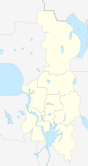
Русский: Позиционная карта Кирилловского района Вологодской области, 2009 год Равноугольная проекция, растяжение — 200 %. Координаты краёв:
|
| Date | |
| Source | |
| Author | Виктор В |
| Other versions |
[]
|
.svg)
.svg)
.svg&action=edit§ion=1)
Licensing[edit]
.svg&action=edit§ion=2)
| I, the copyright holder of this work, release this work into the public domain. This applies worldwide. In some countries this may not be legally possible; if so: I grant anyone the right to use this work for any purpose, without any conditions, unless such conditions are required by law. |
File history
Click on a date/time to view the file as it appeared at that time.
| Date/Time | Thumbnail | Dimensions | User | Comment | |
|---|---|---|---|---|---|
| current | 08:38, 18 December 2015 | | 114 × 214 (39 KB) | Dima st bk (talk | contribs) | поселения Горицкое и Кириллов объединено |
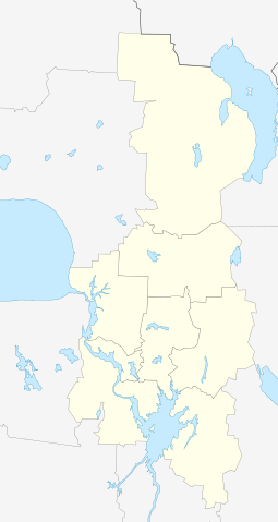
| 13:40, 4 August 2010 |  | 114 × 214 (39 KB) | Виктор В (talk | contribs) | == {{int:filedesc}} == {{Information |Description={{ru|1=Позиционная карта Кирилловского района Вологодской области, 2009 год<br>Равноугольная проекция, растяжение — |
You cannot overwrite this file.
File usage on Commons
The following 4 pages use this file:
File usage on other wikis
The following other wikis use this file:
- Usage on ce.wikipedia.org
- Агафоново (Кириллован кӀошт)
- Аксеново (Кириллован кӀошт)
- Аксеновски (Кириллован кӀошт)
- Алексеевски (Кириллован кӀошт)
- Алешино (Кириллован кӀошт)
- Алферовски (Кириллован кӀошт)
- Алябино
- Амосово (Вологдин область)
- Алексеево (Кириллован кӀошт)
- Андреево (Кириллован кӀошт)
- Андреевски (Коварзинон йуьртан меттиг)
- Андреевски (Коротецкан йуьртан меттиг)
- Аргуново (Кириллован кӀошт)
- Артемово (Кириллован кӀошт)
- Артюнински
- Бабичево (Вологдин область)
- Балуево (Кириллован кӀошт)
- Бардуха
- Бахлычево
- Безменово (Вологдин область)
- Березник (Коварзинон йуьртан меттиг)
- Березник (Ферапонтовскан йуьртан меттиг)
- Березово (Кириллован кӀошт)
- Блиново (Вологдин область)
- Болозново
- Большой Палшема
- Большой Дивково
- Большой Дитятево
- Большой Закозье
- Большой Зауломски
- Большой Коровино (Вологдин область)
- Большой Осаново
- Большой Шевелево (Вологдин область)
- Большой Пепел
- Бонема
- Борбушино
- Борисовски (Кириллован кӀошт)
- Борок (Кириллован кӀошт)
- Ботово (Кириллован кӀошт)
- Булыкино
- Бутово (Кириллован кӀошт)
- Быково (Кириллован кӀошт)
- Бяковски
- Вазеринцы
- Васильево (Кириллован кӀошт)
- Васняково
- Васькино (Кириллован кӀошт)
- Васюково (Коротецкан йуьртан меттиг)
- Васюково (Печенгскан йуьртан меттиг)
- Велики Двор (Чарозерон йуьртан меттиг)
View more global usage of this file.
.svg)
.svg&oldid=456216553)