File:Ox Drove west of Chilmark Down - geograph.org.uk - 910575.jpg
Jump to navigation
Jump to search
No higher resolution available.
Ox_Drove_west_of_Chilmark_Down_-_geograph.org.uk_-_910575.jpg (640 × 480 pixels, file size: 54 KB, MIME type: image/jpeg)
Captions
Captions
Add a one-line explanation of what this file represents
Summary[edit]
| Description |
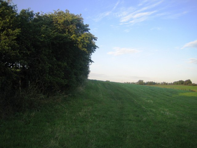
English: Ox Drove west of Chilmark Down. To the right of these trees is the line of the Ox Drove, an ancient drove road that runs east-west across the chalk downland in west Wiltshire, see 481937. The line of the road however is not discernible for another 150m when a farm track comes in from the right. Along this stretch, the Ox Drove is a restricted byway as well as being part of the Monarch's Way. Further ahead the road crosses the lower part of Chilmark Down. |
| Date | |
| Source | From geograph.org.uk |
| Author | Andy Gryce |
| Attribution (required by the license) | Andy Gryce / Ox Drove west of Chilmark Down / |
| Camera location | | View this and other nearby images on: OpenStreetMap |
|---|
_heading:90.00&language=en)
| Object location | | View this and other nearby images on: OpenStreetMap |
|---|
_heading:90.00&language=en)
Licensing[edit]

|
This image was taken from the Geograph project collection. See this photograph's page on the Geograph website for the photographer's contact details. The copyright on this image is owned by Andy Gryce and is licensed for reuse under the Creative Commons Attribution-ShareAlike 2.0 license.
|
This file is licensed under the Creative Commons Attribution-Share Alike 2.0 Generic license.
Attribution: Andy Gryce
- You are free:
- to share – to copy, distribute and transmit the work
- to remix – to adapt the work
- Under the following conditions:
- attribution – You must give appropriate credit, provide a link to the license, and indicate if changes were made. You may do so in any reasonable manner, but not in any way that suggests the licensor endorses you or your use.
- share alike – If you remix, transform, or build upon the material, you must distribute your contributions under the same or compatible license as the original.
File history
Click on a date/time to view the file as it appeared at that time.
| Date/Time | Thumbnail | Dimensions | User | Comment | |
|---|---|---|---|---|---|
| current | 23:36, 21 February 2011 | | 640 × 480 (54 KB) | GeographBot (talk | contribs) | == {{int:filedesc}} == {{Information |description={{en|1=Ox Drove west of Chilmark Down To the right of these trees is the line of the Ox Drove, an ancient drove road that runs east-west across the chalk downland in west Wiltshire, see [481937]]. The line |
You cannot overwrite this file.
File usage on Commons
There are no pages that use this file.