File:POL powiat goleniowski map.svg
Jump to navigation
Jump to search

Size of this PNG preview of this SVG file: 531 × 568 pixels. Other resolutions: 224 × 240 pixels | 449 × 480 pixels | 718 × 768 pixels | 957 × 1,024 pixels | 1,915 × 2,048 pixels.
Original file (SVG file, nominally 531 × 568 pixels, file size: 160 KB)
Captions
Captions
Add a one-line explanation of what this file represents
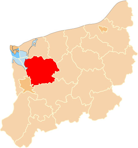
| Description | Położenie powiatu goleniowskiego na mapie województwa zachodniopomorskiego |
| Date | |
| Source | Own work |
| Author | Poznaniak |
| Permission (Reusing this file) |
This file is licensed under the Creative Commons Attribution-Share Alike 2.5 Generic license.
|
File history
Click on a date/time to view the file as it appeared at that time.
| Date/Time | Thumbnail | Dimensions | User | Comment | |
|---|---|---|---|---|---|
| current | 19:00, 29 January 2007 | | 531 × 568 (160 KB) | Poznaniak (talk | contribs) | {{Information |Description=Położenie powiatu goleniowskiego na mapie województwa zachodniopomorskiego |Source=własna praca |Date=29.01.2007 |Author=Poznaniak |Permission={{cc-by-sa-2.5}} }} [[Category:Woj |
You cannot overwrite this file.
File usage on Commons
The following 2 pages use this file:
File usage on other wikis
The following other wikis use this file:
- Usage on azb.wikipedia.org
- Usage on be-tarask.wikipedia.org
- Usage on be.wikipedia.org
- Usage on bg.wikipedia.org
- Usage on cs.wikipedia.org
- Usage on de.wikipedia.org
- Usage on en.wikipedia.org
- Usage on eo.wikipedia.org
- Usage on et.wikipedia.org
- Usage on fa.wikipedia.org
- Usage on fi.wikipedia.org
- Usage on fr.wikipedia.org
- Usage on hsb.wikipedia.org
- Usage on ko.wikipedia.org
- Usage on lv.wikipedia.org
- Usage on no.wikipedia.org
- Usage on pl.wikipedia.org
- Usage on pl.wikivoyage.org
- Usage on pt.wikipedia.org
- Usage on ru.wikipedia.org
- Usage on sk.wikipedia.org
- Usage on sv.wikipedia.org
- Usage on uk.wikipedia.org
- Usage on vi.wikipedia.org
- Usage on www.wikidata.org
- Usage on zh.wikipedia.org