File:Palácio de Queluz - Portugal (52880294093).jpg

Original file (2,048 × 1,425 pixels, file size: 1.85 MB, MIME type: image/jpeg)
Captions
Captions
Summary[edit]
.jpg&action=edit§ion=1)
| Description |
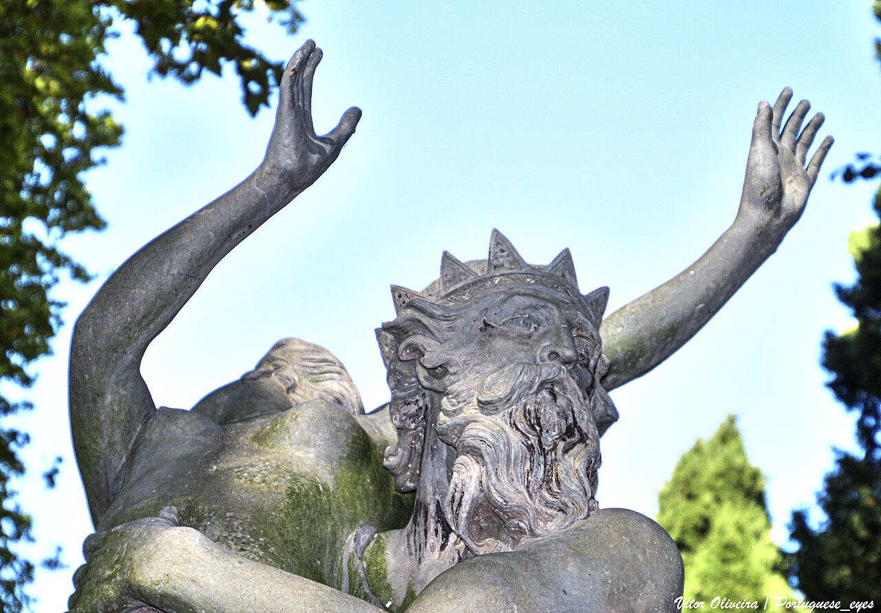
O Palácio Real de Queluz, também chamado de Palácio Nacional de Queluz, consiste num palácio do século XVIII. Um dos últimos grandes edifícios em estilo rococó erguidos na Europa, o imóvel foi construído como um recanto de verão para D. Pedro de Bragança.
Permaneceu assim até à fuga da Família Real para o Brasil, em 1807, devido às Invasões Francesas. A construção do Palácio iniciou-se em 1747, tendo como arquitecto Mateus Vicente de Oliveira. Apesar de ser muito menor, é chamado frequentemente o "Versailles português". A partir de 1826, o palácio deixou lentamente de ser o eleito pelos soberanos portugueses. Após um grave incêndio ocorrido em 1934, o qual destruiu o seu interior, o monumento foi extensivamente restaurado e, hoje, encontra-se aberto ao público. Uma das alas do Palácio de Queluz, o Pavilhão de Dona Maria, construído entre 1785 e 1792 pelo arquitecto Manuel Caetano de Sousa, é, na actualidade, um quarto de hóspedes exclusivo para chefes de Estado estrangeiros em visita a Portugal. Está classificado como Monumento Nacional desde 1910.
|
| Date | |
| Source | Palácio de Queluz - Portugal 🇵🇹 |
| Author | Vitor Oliveira from Torres Vedras, PORTUGAL |
| Camera location | | View this and other nearby images on: OpenStreetMap |
|---|
.jpg¶ms=038.751439_N_-009.259725_E_globe:Earth_type:camera_source:Flickr_&language=en)
Licensing[edit]
.jpg&action=edit§ion=2)
- You are free:
- to share – to copy, distribute and transmit the work
- to remix – to adapt the work
- Under the following conditions:
- attribution – You must give appropriate credit, provide a link to the license, and indicate if changes were made. You may do so in any reasonable manner, but not in any way that suggests the licensor endorses you or your use.
- share alike – If you remix, transform, or build upon the material, you must distribute your contributions under the same or compatible license as the original.
| This image was originally posted to Flickr by Portuguese_eyes at https://flickr.com/photos/21446942@N00/52880294093. It was reviewed on 16 May 2023 by FlickreviewR 2 and was confirmed to be licensed under the terms of the cc-by-sa-2.0. |
File history
Click on a date/time to view the file as it appeared at that time.
| Date/Time | Thumbnail | Dimensions | User | Comment | |
|---|---|---|---|---|---|
| current | 21:34, 16 May 2023 | | 2,048 × 1,425 (1.85 MB) | Tm (talk | contribs) | Transferred from Flickr via #flickr2commons |
You cannot overwrite this file.
File usage on Commons
There are no pages that use this file.
.jpg&oldid=764261451)