File:Panorama de la ville de Paris par AM Perrot - Gallica 2.jpg

From Wikimedia Commons, the free media repository
Jump to navigation Jump to search

Original file(6,189 × 4,492 pixels, file size: 9.84 MB, MIME type: image/jpeg)

Captions

Captions

Add a one-line explanation of what this file represents

Summary[edit]

Description
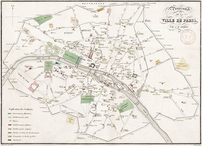
English: Map (38 x 28 cm) showing Paris as it was in the first part of 1826 with the title: "Panorama de la ville de Paris / par A.-M. Perrot". The map indicates the locations of important buildings, promenades and gardens, and other monuments using a color code, which is explained in the legend in the lower left corner ("Explication des couleurs"). North is up. The scale is not shown.
Date (see talk)
Source Gallica
Author Aristide-Michel Perrot (1793–1879), cartographer (VIAF)
« Dirigé par Couché fils. » (lower left)
« Écrit par Hacq. » (lower right)

Licensing[edit]

Public domain

This work is in the public domain in its country of origin and other countries and areas where the copyright term is the author's life plus 100 years or fewer.


You must also include a United States public domain tag to indicate why this work is in the public domain in the United States.

File history

Click on a date/time to view the file as it appeared at that time.

Date/TimeThumbnailDimensionsUserComment
current14:18, 20 July 2013Thumbnail for version as of 14:18, 20 July 20136,189 × 4,492 (9.84 MB)Paris 16 (talk | contribs)

There are no pages that use this file.

Metadata