File:Pennsylvania Dutch Country Map.gif
Jump to navigation
Jump to search
No higher resolution available.
Pennsylvania_Dutch_Country_Map.gif (800 × 460 pixels, file size: 21 KB, MIME type: image/gif)
Captions
Captions
Add a one-line explanation of what this file represents
Summary[edit]
| Description |
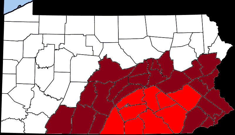
English: altered version of (Public domain map courtesy of The General Libraries, The University of Texas at Austin, modified to show counties relevant to article. Released under GFDL. See Wikipedia:U.S. county maps.) |
| Date | |
| Source | https://commons.wikimedia.org/wiki/File:Map_of_PA_Dutch_Region.gif |
| Author | Transferred from en.wikipedia to Commons. |
Licensing[edit]
This file is licensed under the Creative Commons Attribution-Share Alike 4.0 International license.
- You are free:
- to share – to copy, distribute and transmit the work
- to remix – to adapt the work
- Under the following conditions:
- attribution – You must give appropriate credit, provide a link to the license, and indicate if changes were made. You may do so in any reasonable manner, but not in any way that suggests the licensor endorses you or your use.
- share alike – If you remix, transform, or build upon the material, you must distribute your contributions under the same or compatible license as the original.
File history
Click on a date/time to view the file as it appeared at that time.
| Date/Time | Thumbnail | Dimensions | User | Comment | |
|---|---|---|---|---|---|
| current | 16:08, 27 September 2023 | | 800 × 460 (21 KB) | Aearthrise (talk | contribs) | Updated regions |
| 13:43, 25 August 2022 |  | 808 × 468 (35 KB) | Aearthrise (talk | contribs) | Reverted to version as of 13:43, 25 August 2022 (UTC) | |
| 13:43, 25 August 2022 |  | 808 × 468 (32 KB) | Aearthrise (talk | contribs) | Reverted to version as of 13:39, 25 August 2022 (UTC) | |
| 13:43, 25 August 2022 |  | 808 × 468 (35 KB) | Aearthrise (talk | contribs) | More Accurate Pennyslvania Dutchland Map Colors | |
| 13:39, 25 August 2022 |  | 808 × 468 (32 KB) | Aearthrise (talk | contribs) | Uploaded a work by Transferred from en.wikipedia to Commons. from https://commons.wikimedia.org/wiki/File:Map_of_PA_Dutch_Region.gif with UploadWizard |
You cannot overwrite this file.
File usage on Commons
There are no pages that use this file.