File:PikiWiki Israel 4123 Geography of Israel.jpg
Jump to navigation
Jump to search

Size of this preview: 800 × 599 pixels. Other resolutions: 320 × 240 pixels | 640 × 480 pixels | 1,024 × 767 pixels | 1,280 × 959 pixels | 2,560 × 1,918 pixels | 2,848 × 2,134 pixels.
Original file (2,848 × 2,134 pixels, file size: 1.44 MB, MIME type: image/jpeg)
Captions
Captions
Add a one-line explanation of what this file represents
| Description |
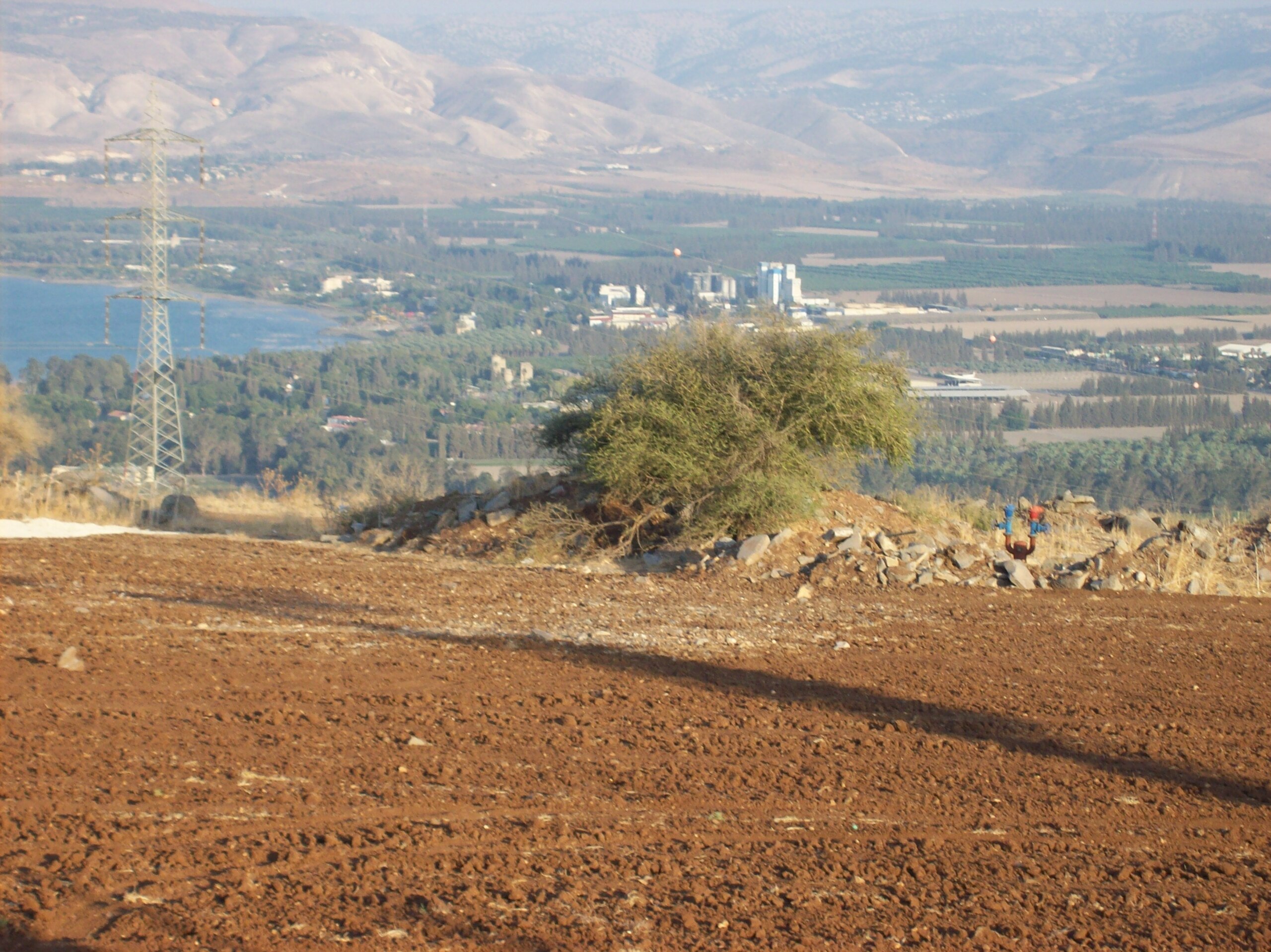
English: Geography of Israel עברית: מבית-העלמין בפוריה החדשה לכיוון עמק הירדן, Original Image Name:נוף מפוריה, Notes:ביום גילוי האנדרטה לזכרו של דני קזין ז"ל החלל הראשון בעמק הירדן,נפל ב16.05.48, Location:פוריה |
| Date | circa 2007 |
| Source | gabi antebi via the PikiWiki - Israel free image collection project |
| Author | גבי ענתבי |
| Permission (Reusing this file) |
This file is licensed under the Creative Commons Attribution 2.5 Generic license. Attribution: אלבום משפחת ענתבי
|

|
This file has been submitted through the Israeli Pikiwiki project and uploaded here automatically.
The project is cooperation between the Israel Internet Association and Wikimedia Israel in an effort to promote the concept of free content on the Web, by creating an image collection of digital-format, good quality photographs, documenting events relating to the history of Israel, or depicting places of distinction in Israel and the Middle East. The Pikiwiki Project is managed from 2021 by the "Heritage Stones" group.
Please consider notifying the project before renaming or deleting this file. Further information about the project can be found on the commons-l mailing list.
|
File history
Click on a date/time to view the file as it appeared at that time.
| Date/Time | Thumbnail | Dimensions | User | Comment | |
|---|---|---|---|---|---|
| current | 12:00, 10 August 2009 | | 2,848 × 2,134 (1.44 MB) | Pikiwikisrael (talk | contribs) | {{Information |Description={{en|Geography of Israel}} {{he|מבית-העלמין בפוריה החדשה לכיוון עמק הירדן, Original Image Name:נוף מפוריה, Notes:ביום גילוי האנדרטה לזכרו של דני קזין ז&q |
You cannot overwrite this file.
File usage on Commons
The following page uses this file:
File usage on other wikis
The following other wikis use this file:
- Usage on ceb.wikipedia.org
- Usage on cs.wikipedia.org
- Usage on he.wikipedia.org
- Usage on www.wikidata.org