File:Plan de rue projetée (Ouest remparts de Vannes) 1785.jpg
Jump to navigation
Jump to search
No higher resolution available.
Plan_de_rue_projetée_(Ouest_remparts_de_Vannes)_1785.jpg (580 × 512 pixels, file size: 263 KB, MIME type: image/jpeg)
Captions
Captions
Add a one-line explanation of what this file represents
Summary[edit]
| Description |
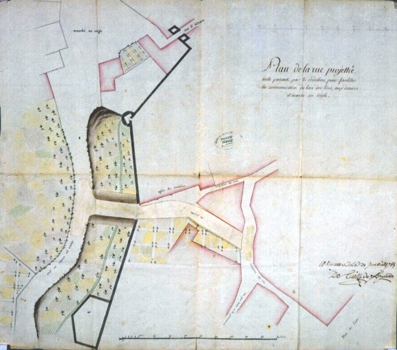
Français : Fonds de l'Intendance. Plan de la rue projetée passant par les cordeliers de Vannes par Detaille de Keroyand, 1785. AD Ille-et-Vilaine C 704/18 |
|||||||||||||||||||||||
| Date | ||||||||||||||||||||||||
| Source |
|
|||||||||||||||||||||||
| Author | Detaille de Keroyand (ingénieur des Ponts et Chaussées). | |||||||||||||||||||||||

_1785.jpg&action=edit§ion=1)
Licensing[edit]
_1785.jpg&action=edit§ion=2)
|
This work is in the public domain in its country of origin and other countries and areas where the copyright term is the author's life plus 100 years or fewer. | |
| This file has been identified as being free of known restrictions under copyright law, including all related and neighboring rights. | |
File history
Click on a date/time to view the file as it appeared at that time.
| Date/Time | Thumbnail | Dimensions | User | Comment | |
|---|---|---|---|---|---|
| current | 23:42, 13 March 2010 | | 580 × 512 (263 KB) | GwenofGwened (talk | contribs) | {{Information |Description={{fr|1=Fonds de l'Intendance. Plan de la rue projetée passant par les cordeliers de Vannes par Detaille de Keroyand, 1785. AD Ille-et-Vilaine C 704/18}} |Source=Archives départementales d'Ille-et-Vilaine. C704/18 |Author=Detai |
You cannot overwrite this file.
File usage on Commons
There are no pages that use this file.
File usage on other wikis
The following other wikis use this file:
- Usage on fr.wikipedia.org
_1785.jpg&oldid=425165169)