File:Plan von der Schlacht bei Kesselsdorf am 15 December 1745 (cropped).jpg
Jump to navigation
Jump to search

Size of this preview: 800 × 237 pixels. Other resolutions: 320 × 95 pixels | 640 × 190 pixels | 1,024 × 304 pixels | 1,280 × 379 pixels | 5,003 × 1,483 pixels.
Original file (5,003 × 1,483 pixels, file size: 3.11 MB, MIME type: image/jpeg)
Captions
Captions
Add a one-line explanation of what this file represents
Summary[edit]
| Description |
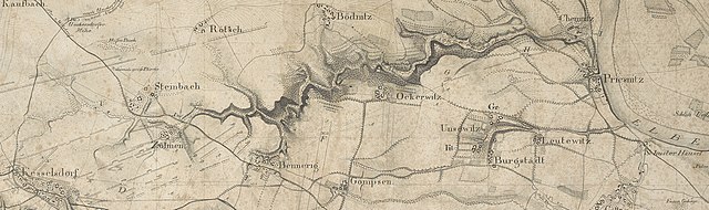
Deutsch: 1 Kt. : unkolor. (58 x 39 cm) ; Maßstab 1:20.515 ; Koordinaten E 13°32'42"-E 13°44'08"/N 51°04'31"-N 51°00'22" ; Maßstab in graph. Form (Leipziger Ell.). - Titel oberhalb des Kt.-Feldes. - Maßstab unterhalb des Kt.-Feldes. - Ohne Kt.-Netz. - Erl. zur Schlacht links unten. - Mit Truppenstellungen. - Mit 1 Profil (Höhenqueerschnitt). - Relief: Schraffen |
| Date | |
| Source | Leibniz-Institut für Länderkunde e.V., Leipzig |
| Author | Lehmann, Johann Georg ; Bach, Justus ; Arnold, Christof (Herausgeber/-in) |
| Other versions |

.jpg&action=edit§ion=1)
Altkarte ; Militärkartographie
Licensing[edit]
.jpg&action=edit§ion=2)
| This file is made available under the Creative Commons CC0 1.0 Universal Public Domain Dedication. | |
| The person who associated a work with this deed has dedicated the work to the public domain by waiving all of their rights to the work worldwide under copyright law, including all related and neighboring rights, to the extent allowed by law. You can copy, modify, distribute and perform the work, even for commercial purposes, all without asking permission.
|
File history
Click on a date/time to view the file as it appeared at that time.
| Date/Time | Thumbnail | Dimensions | User | Comment | |
|---|---|---|---|---|---|
| current | 11:55, 24 January 2019 | 5,003 × 1,483 (3.11 MB) | Stefan Kühn (talk | contribs) | File:Plan von der Schlacht bei Kesselsdorf am 15 December 1745.jpg cropped 32 % horizontally, 72 % vertically using CropTool with precise mode. |
You cannot overwrite this file.
File usage on Commons
The following 3 pages use this file:
File usage on other wikis
The following other wikis use this file:
- Usage on de.wikipedia.org
.jpg&oldid=810196801)