File:Pleasley Village near Mansfield NG19.jpg
Jump to navigation
Jump to search

Size of this preview: 800 × 504 pixels. Other resolutions: 320 × 202 pixels | 640 × 404 pixels | 1,024 × 646 pixels | 1,280 × 807 pixels | 2,560 × 1,614 pixels | 3,717 × 2,344 pixels.
Original file (3,717 × 2,344 pixels, file size: 1.61 MB, MIME type: image/jpeg)
Captions
Captions
Add a one-line explanation of what this file represents
Summary[edit]
| Description |
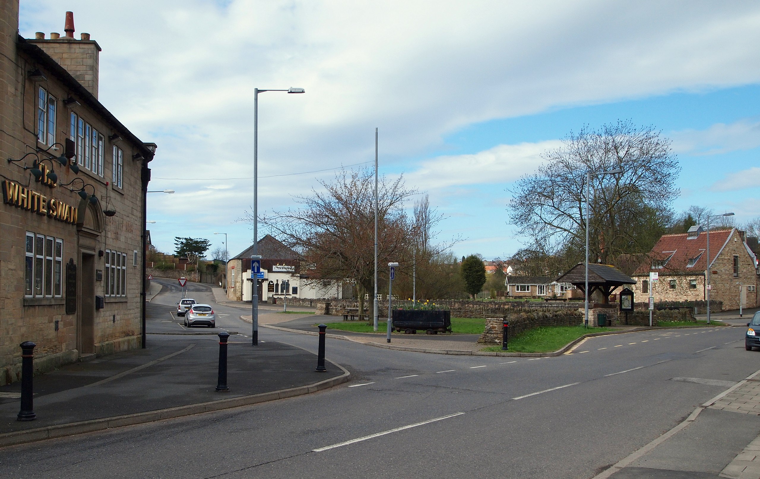
English: Pleasley village centre, on the outskirts of Mansfield, Nottinghamshire, just off the A617 road leading out of Mansfield towards Chesterfield. The area shown is known as Meden Square, with the dammed River Meden, mill pond and stone built Meden Mill, a former water-powered C17th corn mill now a private residence roofed with red pantiles, seen to the middle and right of image. |
| Date | |
| Source | Geograph.org |
| Author | David Hallam-Jones |
| Attribution (required by the license) | David Hallam-Jones / Pleasley NG19, Near Mansfield, Notts. / |
| Camera location | | View this and other nearby images on: OpenStreetMap |
|---|
_heading:225.00&language=en)
| Object location | | View this and other nearby images on: OpenStreetMap |
|---|
_heading:225.00&language=en)
Licensing[edit]

|
This image was taken from the Geograph project collection. See this photograph's page on the Geograph website for the photographer's contact details. The copyright on this image is owned by David Hallam-Jones and is licensed for reuse under the Creative Commons Attribution-ShareAlike 2.0 license.
|
This file is licensed under the Creative Commons Attribution-Share Alike 2.0 Generic license.
Attribution: David Hallam-Jones
- You are free:
- to share – to copy, distribute and transmit the work
- to remix – to adapt the work
- Under the following conditions:
- attribution – You must give appropriate credit, provide a link to the license, and indicate if changes were made. You may do so in any reasonable manner, but not in any way that suggests the licensor endorses you or your use.
- share alike – If you remix, transform, or build upon the material, you must distribute your contributions under the same or compatible license as the original.
File history
Click on a date/time to view the file as it appeared at that time.
| Date/Time | Thumbnail | Dimensions | User | Comment | |
|---|---|---|---|---|---|
| current | 17:07, 12 October 2018 | | 3,717 × 2,344 (1.61 MB) | Geograph Update Bot (talk | contribs) | Higher-resolution version from Geograph. |
| 20:14, 8 February 2014 |  | 1,024 × 646 (158 KB) | Rocknrollmancer (talk | contribs) | {{Information |Description ={{en|1=Pleasley village centre, on the outskirts of Mansfield, Nottinghamshire, just off the A617 road leading out of Mansfield towards Chesterfield. The area shown is known as Meden Square, with the dammed River Meden, m... |
You cannot overwrite this file.
File usage on Commons
There are no pages that use this file.
File usage on other wikis
The following other wikis use this file: