File:Portugal topographic blank map-fr.png
Jump to navigation
Jump to search
Size of this preview: 339 × 599 pixels. Other resolutions: 136 × 240 pixels | 272 × 480 pixels | 435 × 768 pixels | 579 × 1,024 pixels | 1,738 × 3,070 pixels.
Original file (1,738 × 3,070 pixels, file size: 4.36 MB, MIME type: image/png)
Captions
Captions
Add a one-line explanation of what this file represents
Summary[edit]
| Description |
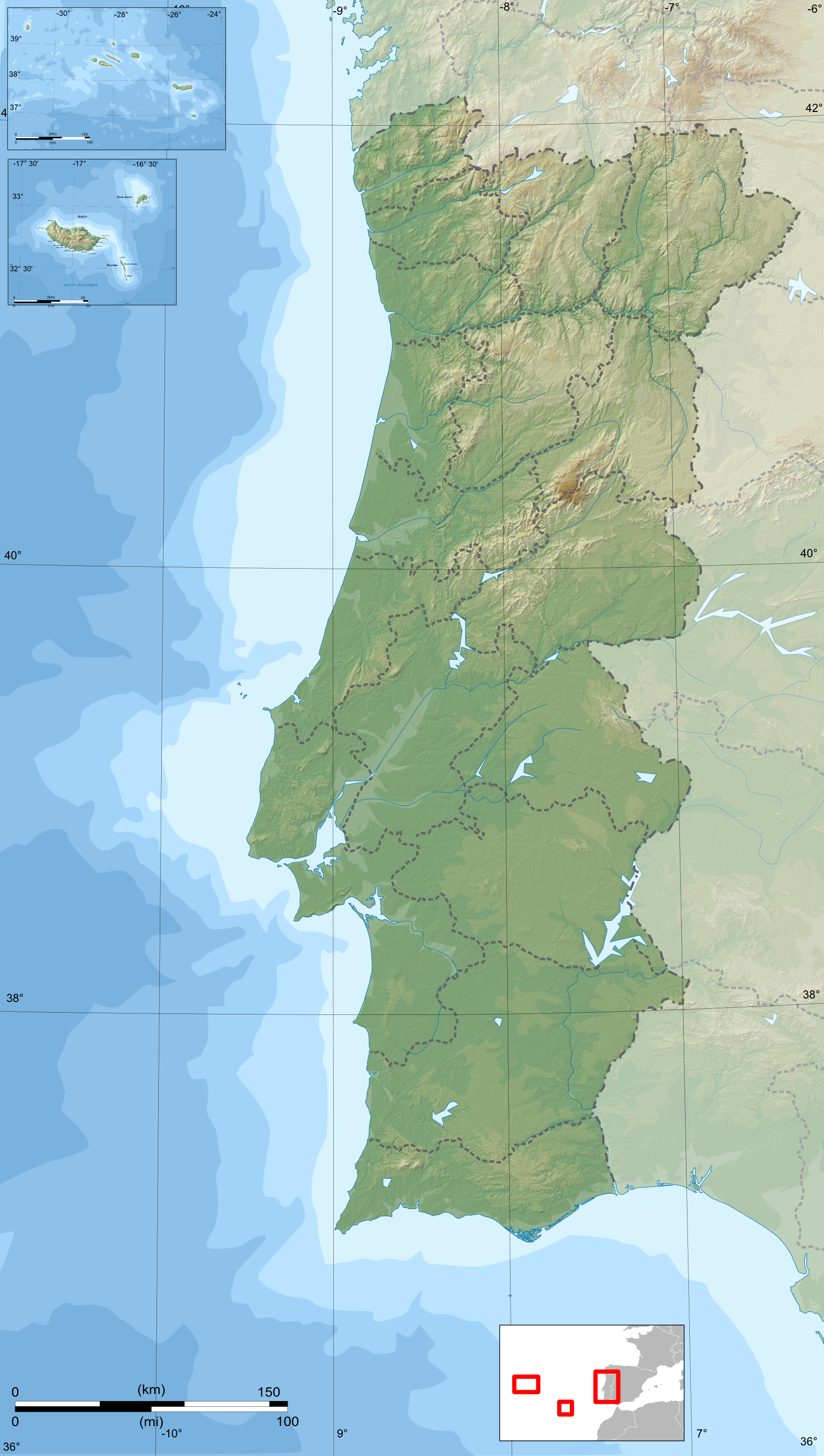
Français : Carte topographique et administrative en français du Portugal
Português: Carta topográfica e da administração do Portugal, em francês
Deutsch: Topographische Karte von Portugal, französische Version English: Topographic and administrative map in French of Portugal Español: Mapa topográfico y administrativo en francès del Portugal Italiano: Carta topografica e amministrativa de Portogallo 日本語: フランス語で表示したポルトガル地形·行政地図 |
| Date | |
| Source | travail personnel (own work) ; Blank map from File:Portugal topographic map-fr.svg by uploader |
| Author | Bourrichon |
| Other versions |
|

Licensing[edit]
I, the copyright holder of this work, hereby publish it under the following licenses:

|
Permission is granted to copy, distribute and/or modify this document under the terms of the GNU Free Documentation License, Version 1.2 or any later version published by the Free Software Foundation; with no Invariant Sections, no Front-Cover Texts, and no Back-Cover Texts. A copy of the license is included in the section entitled GNU Free Documentation License. |
This file is licensed under the Creative Commons Attribution-Share Alike 3.0 Unported, 2.5 Generic, 2.0 Generic and 1.0 Generic license.
- You are free:
- to share – to copy, distribute and transmit the work
- to remix – to adapt the work
- Under the following conditions:
- attribution – You must give appropriate credit, provide a link to the license, and indicate if changes were made. You may do so in any reasonable manner, but not in any way that suggests the licensor endorses you or your use.
- share alike – If you remix, transform, or build upon the material, you must distribute your contributions under the same or compatible license as the original.
You may select the license of your choice.
File history
Click on a date/time to view the file as it appeared at that time.
| Date/Time | Thumbnail | Dimensions | User | Comment | |
|---|---|---|---|---|---|
| current | 12:06, 26 April 2009 | | 1,738 × 3,070 (4.36 MB) | Bourrichon (talk | contribs) | +corr bathy color |
| 18:22, 25 April 2009 |  | 1,738 × 3,070 (4.37 MB) | Bourrichon (talk | contribs) | {{Information |Description={{fr|Carte topographique et administrative en français du Portugal}} {{pt|Carta topográfica e da administração do Portugal, em francês}} {{de|Topographische Karte von [[:de:Portugal|Portuga |
You cannot overwrite this file.
File usage on Commons
The following 4 pages use this file:
File usage on other wikis
The following other wikis use this file:
- Usage on lv.wikipedia.org
- Usage on vep.wikipedia.org