File:Powiat średzki (województwo dolnośląskie) location map.png
Original file (1,283 × 1,038 pixels, file size: 533 KB, MIME type: image/png)
Captions
Captions
Summary[edit]
_location_map.png&action=edit§ion=1)
| Description |
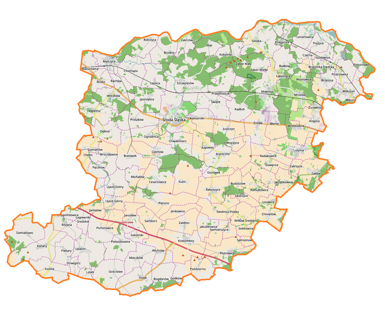
English: Location map |
| Date | |
| Source | Own work |
| Author | Smat |
| Description |
Polski: Mapa powiatu średzkiego, Polska
English: Map of powiat średzki (województwo dolnośląskie), Poland |
|||||||||
| Date | ||||||||||
| Source | You may find a page on the OpenStreetMap wiki page for powiat średzki (województwo dolnośląskie) | |||||||||
| Creator |
OpenStreetMap contributors OpenStreetMap contributors |
|||||||||
| Permission (Reusing this file) |
OpenStreetMap data is available under the Open Database License (details). Map tiles are licensed under the Creative Commons Attribution-ShareAlike 2.0 license (CC-BY-SA 2.0).
This file is licensed under the Creative Commons Attribution-Share Alike 2.0 Generic license.
|
|||||||||
| Geotemporal data | ||||||||||
| Bounding box |
|
|||||||||
| Georeferencing | If inappropriate please set warp_status = skip to hide. | |||||||||
Licensing[edit]
_location_map.png&action=edit§ion=2)
| This work contains information from OpenStreetMap, which is made available under the Open Database License (ODbL).
The ODbL does not require any particular license for maps produced from ODbL data. Prior to 1 August 2020, map tiles produced by the OpenStreetMap Foundation were licensed under the CC-BY-SA-2.0 license. Maps produced by other people may be subject to other licences. |
File history
Click on a date/time to view the file as it appeared at that time.
| Date/Time | Thumbnail | Dimensions | User | Comment | |
|---|---|---|---|---|---|
| current | 09:35, 2 February 2017 | | 1,283 × 1,038 (533 KB) | Smat (talk | contribs) | User created page with UploadWizard |
You cannot overwrite this file.
File usage on Commons
There are no pages that use this file.
File usage on other wikis
The following other wikis use this file:
- Usage on pl.wikipedia.org
- Malczyce
- Środa Śląska
- Ramułtowice
- Zamek w Wojnowicach
- Święte (województwo dolnośląskie)
- Brodno
- Brzezinka Średzka
- Bukówek
- Piersno (powiat średzki)
- Chwalimierz (województwo dolnośląskie)
- Ciechów
- Damianowo
- Drogomiłowice
- Dziwigórz
- Gałów
- Głoska (województwo dolnośląskie)
- Jakubkowice
- Jarostów
- Jastrzębce (województwo dolnośląskie)
- Jugowiec
- Kulin (województwo dolnośląskie)
- Kwietno
- Karczyce
- Łagiewniki Średzkie
- Mazurowice
- Mieczków (województwo dolnośląskie)
- Mrozów
- Wróblowice (województwo dolnośląskie)
- Ogrodnica
- Paździorno
- Pęczków
- Pichorowice
- Pielaszkowice
- Prężyce
- Proszków
- Rachów (województwo dolnośląskie)
- Radakowice
- Rakoszyce
- Lutynia (gmina Miękinia)
- Gościsław (województwo dolnośląskie)
- Samborz (województwo dolnośląskie)
- Samsonowice
- Siemidrożyce
- Świdnica Polska
- Udanin
- Ujazd Dolny
- Ujazd Górny
- Wilkostów
- Wilków Średzki
- Wilkszyn
View more global usage of this file.
_location_map.png)
_location_map.png&oldid=607590653)