File:Powiat brzozowski location map.png

Original file (860 × 639 pixels, file size: 194 KB, MIME type: image/png)
Captions
Captions
Summary[edit]
| Description |
English: Location map |
| Date | |
| Source | Own work |
| Author | Smat |
| Description |
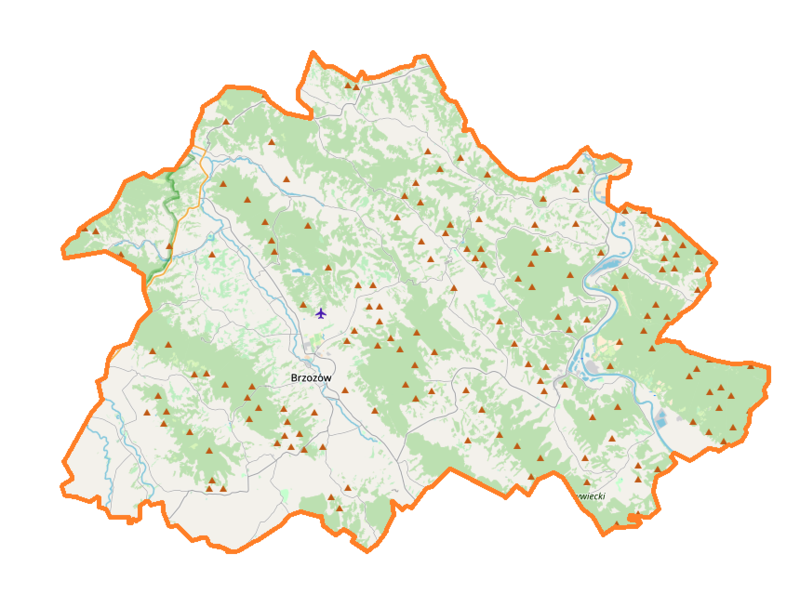
Polski: Mapa powiatu brzozowskiego, Polska
English: Map of Brzozów County, Poland |
|||||||||
| Date | ||||||||||
| Source | You may find a page on the OpenStreetMap wiki page for powiat brzozowski | |||||||||
| Creator |
OpenStreetMap contributors OpenStreetMap contributors |
|||||||||
| Permission (Reusing this file) |
OpenStreetMap data is available under the Open Database License (details). Map tiles are licensed under the Creative Commons Attribution-ShareAlike 2.0 license (CC-BY-SA 2.0).
This file is licensed under the Creative Commons Attribution-Share Alike 2.0 Generic license.
|
|||||||||
| Geotemporal data | ||||||||||
| Bounding box |
|
|||||||||
| Georeferencing | If inappropriate please set warp_status = skip to hide. | |||||||||
Licensing[edit]
| This work contains information from OpenStreetMap, which is made available under the Open Database License (ODbL).
The ODbL does not require any particular license for maps produced from ODbL data. Prior to 1 August 2020, map tiles produced by the OpenStreetMap Foundation were licensed under the CC-BY-SA-2.0 license. Maps produced by other people may be subject to other licences. |
File history
Click on a date/time to view the file as it appeared at that time.
| Date/Time | Thumbnail | Dimensions | User | Comment | |
|---|---|---|---|---|---|
| current | 18:02, 20 June 2018 | | 860 × 639 (194 KB) | Smat (talk | contribs) | User created page with UploadWizard |
You cannot overwrite this file.
File usage on Commons
There are no pages that use this file.
File usage on other wikis
The following other wikis use this file:
- Usage on eo.wikipedia.org
- Usage on pl.wikipedia.org
- Brzozów
- Grabownica Starzeńska
- Haczów
- Rezerwat przyrody Cisy w Malinówce
- Rezerwat przyrody Kretówki
- Blizne
- Ulucz
- Brzozów (gmina)
- Dydnia
- Golcowa
- Humniska
- Jasienica Rosielna
- Jabłonka (województwo podkarpackie)
- Obarzym
- Hłudno
- Huta Poręby
- Jabłonica Polska
- Jabłonica Ruska
- Barycz (powiat brzozowski)
- Niebocko
- Niewistka
- Nozdrzec
- Temeszów
- Turze Pole
- Wara
- Witryłów
- Wołodź
- Wydrna
- Wzdów
- Zmiennica
- Buków (województwo podkarpackie)
- Domaradz (województwo podkarpackie)
- Grabówka (województwo podkarpackie)
- Izdebki (województwo podkarpackie)
- Jasionów (województwo podkarpackie)
- Końskie (województwo podkarpackie)
- Krzemienna (województwo podkarpackie)
- Malinówka (województwo podkarpackie)
- Orzechówka (województwo podkarpackie)
- Przysietnica (województwo podkarpackie)
- Stara Wieś (województwo podkarpackie)
- Trześniów (województwo podkarpackie)
- Wesoła (województwo podkarpackie)
- Górki (powiat brzozowski)
- Krzywe (powiat brzozowski)
- Siedliska (powiat brzozowski)
- Wola Jasienicka
- Hroszówka (uroczysko)
- Wola Wołodzka
View more global usage of this file.