File:Powiat kłodzki location map.jpg

Original file (1,898 × 2,043 pixels, file size: 845 KB, MIME type: image/jpeg)
Captions
Captions
Summary[edit]
| Description |
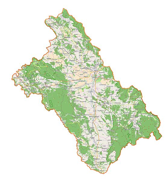
English: Location map of powiat kłodzki, Poland. |
| Date | |
| Source | Own work |
| Author | Smat |
| Description |
Polski: Mapa powiatu kłodzkiego, Polska
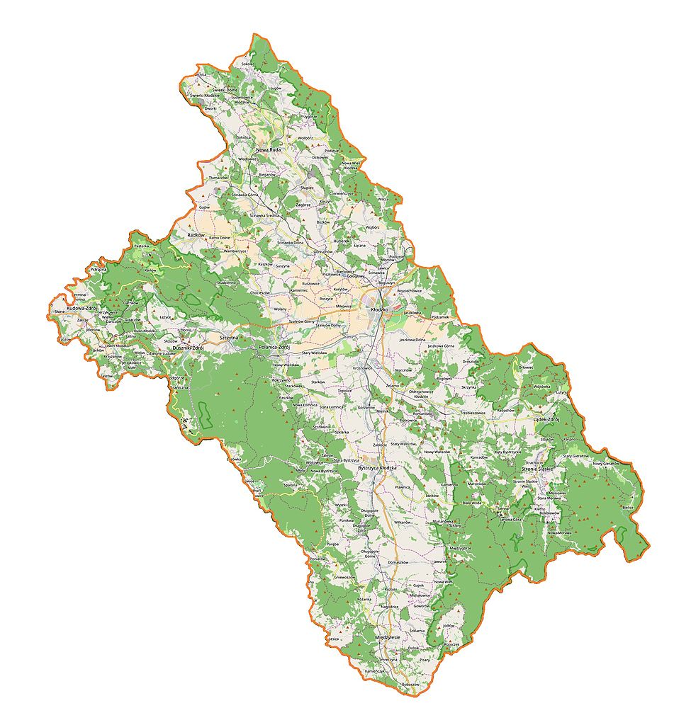
English: Map of Powiat Kłodzki, Poland |
|||||||||
| Date | ||||||||||
| Source | You may find a page on the OpenStreetMap wiki page for Powiat kłodzki | |||||||||
| Creator |
OpenStreetMap contributors OpenStreetMap contributors |
|||||||||
| Permission (Reusing this file) |
OpenStreetMap data is available under the Open Database License (details). Map tiles are licensed under the Creative Commons Attribution-ShareAlike 2.0 license (CC-BY-SA 2.0).
This file is licensed under the Creative Commons Attribution-Share Alike 2.0 Generic license.
|
|||||||||
| Geotemporal data | ||||||||||
| Bounding box |
|
|||||||||
| Georeferencing | If inappropriate please set warp_status = skip to hide. | |||||||||
Licensing[edit]
| This work contains information from OpenStreetMap, which is made available under the Open Database License (ODbL).
The ODbL does not require any particular license for maps produced from ODbL data. Prior to 1 August 2020, map tiles produced by the OpenStreetMap Foundation were licensed under the CC-BY-SA-2.0 license. Maps produced by other people may be subject to other licences. |
File history
Click on a date/time to view the file as it appeared at that time.
| Date/Time | Thumbnail | Dimensions | User | Comment | |
|---|---|---|---|---|---|
| current | 19:29, 9 December 2016 | | 1,898 × 2,043 (845 KB) | Smat (talk | contribs) | new |
| 10:44, 13 November 2016 |  | 988 × 1,034 (160 KB) | Smat (talk | contribs) | User created page with UploadWizard |
You cannot overwrite this file.
File usage on Commons
There are no pages that use this file.
File usage on other wikis
The following other wikis use this file:
- Usage on pl.wikipedia.org
- Kłodzko
- Kudowa-Zdrój
- Nowa Ruda
- Duszniki-Zdrój
- Długopole-Zdrój
- Lądek-Zdrój
- Polanica-Zdrój
- Bielice (województwo dolnośląskie)
- Biała Lądecka
- Lewin Kłodzki
- Zieleniec (Duszniki-Zdrój)
- Stronie Śląskie
- Arboretum w Lądku-Zdroju
- Zamek Karpień
- Radochów
- Różanka (województwo dolnośląskie)
- Wambierzyce
- Zdrojowisko
- Bystrzyca Kłodzka
- Bystrzyca Kłodzka (gmina)
- Trzebieszowice
- Kąty Bystrzyckie
- Lutynia (powiat kłodzki)
- Konradów (województwo dolnośląskie)
- Orłowiec
- Skrzynka (województwo dolnośląskie)
- Stójków
- Bożków
- Fort Karola
- Jaszkowa Dolna
- Radków
- Zamek Homole
- Szczytna
- Międzygórze (województwo dolnośląskie)
- Zamek w Ratnie Dolnym
- Wolibórz
- Bystrzyca Dusznicka
- Jugów
- Pasterka (wieś)
- Bartnica
- Boboszów
- Bierkowice (województwo dolnośląskie)
- Chocieszów (Polska)
- Czerwieńczyce
- Dańczów
- Darnków
- Długopole Dolne
- Długopole Górne
- Gajnik
- Gajów
View more global usage of this file.