File:Powiat trzebnicki location map.png
Original file (1,832 × 2,005 pixels, file size: 1.32 MB, MIME type: image/png)
Captions
Captions
Summary[edit]
| Description |
English: Location map. |
| Date | |
| Source | Own work |
| Author | Smat |
| Description |
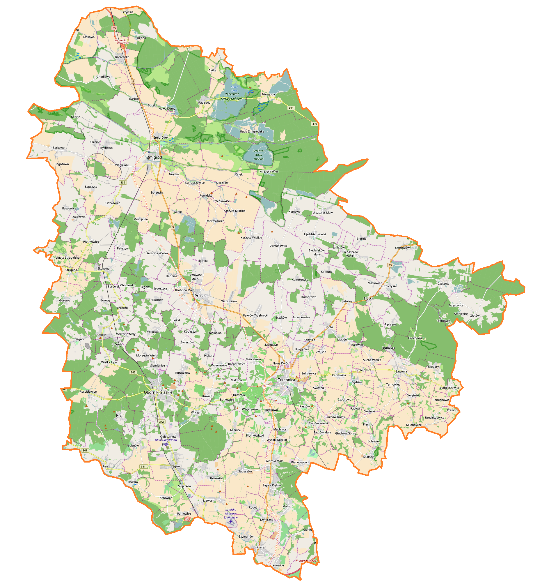
Polski: Mapa powiatu trzebnickiego, Polska
English: Map of powiat trzebnicki, Poland |
|||||||||
| Date | ||||||||||
| Source | You may find a page on the OpenStreetMap wiki page for powiat trzebnicki | |||||||||
| Creator |
OpenStreetMap contributors OpenStreetMap contributors |
|||||||||
| Permission (Reusing this file) |
OpenStreetMap data is available under the Open Database License (details). Map tiles are licensed under the Creative Commons Attribution-ShareAlike 2.0 license (CC-BY-SA 2.0).
This file is licensed under the Creative Commons Attribution-Share Alike 2.0 Generic license.
|
|||||||||
| Geotemporal data | ||||||||||
| Bounding box |
|
|||||||||
| Georeferencing | If inappropriate please set warp_status = skip to hide. | |||||||||
Licensing[edit]
| This work contains information from OpenStreetMap, which is made available under the Open Database License (ODbL).
The ODbL does not require any particular license for maps produced from ODbL data. Prior to 1 August 2020, map tiles produced by the OpenStreetMap Foundation were licensed under the CC-BY-SA-2.0 license. Maps produced by other people may be subject to other licences. |
File history
Click on a date/time to view the file as it appeared at that time.
| Date/Time | Thumbnail | Dimensions | User | Comment | |
|---|---|---|---|---|---|
| current | 14:26, 20 December 2016 | | 1,832 × 2,005 (1.32 MB) | Smat (talk | contribs) | User created page with UploadWizard |
You cannot overwrite this file.
File usage on Commons
There are no pages that use this file.
File usage on other wikis
The following other wikis use this file:
- Usage on pl.wikipedia.org
- Żmigród
- Oborniki Śląskie
- Trzebnica
- Parafia Najświętszego Serca Pana Jezusa w Obornikach Śląskich
- Parafia św. Judy Tadeusza i św. Antoniego Padewskiego w Obornikach Śląskich
- Kuraszków (województwo dolnośląskie)
- Wilczyn (powiat trzebnicki)
- Prusice
- Parafia św. Marcina w Barkowie
- Parafia Trójcy Świętej w Żmigrodzie
- Parafia Niepokalanego Serca Najświętszej Maryi Panny w Strupinie
- Parafia Najświętszej Maryi Panny Częstochowskiej w Skokowej
- Parafia św. Karola Boromeusza w Radziądzu
- Parafia św. Jakuba Apostoła w Prusicach
- Parafia św. Jana Chrzciciela w Powidzku
- Parafia Podwyższenia Krzyża Pańskiego w Korzeńsku
- Parafia św. Mikołaja w Pęgowie
- Paniowice
- Barkówko
- Biedaszków Mały
- Biedaszków Wielki
- Będkowo
- Budczyce
- Budzicz
- Chodlewko
- Chodlewo
- Czeszów
- Domanowice
- Droszów
- Garbce
- Głuchów Dolny
- Głuchów Górny
- Golędzinów (powiat trzebnicki)
- Grądzik (województwo dolnośląskie)
- Jagoszyce
- Jary (wieś)
- Jaszyce
- Kędzie
- Kliszkowice
- Krościna Mała
- Krościna Wielka
- Książęca Wieś
- Kuźniczysko
- Kałowice
- Kanclerzowice
- Kaszyce Milickie
- Kaszyce Wielkie
- Koczurki
- Koniowo
- Korzeńsko
View more global usage of this file.