File:RD 1006 sur le Pont Royal au-dessus de l'Isère (été 2020).JPG
Jump to navigation
Jump to search

Size of this preview: 800 × 600 pixels. Other resolutions: 320 × 240 pixels | 640 × 480 pixels | 1,024 × 768 pixels | 1,280 × 960 pixels | 2,560 × 1,920 pixels | 4,000 × 3,000 pixels.
Original file (4,000 × 3,000 pixels, file size: 6.94 MB, MIME type: image/jpeg)
Captions
Captions
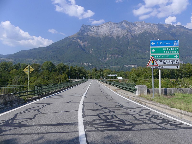
Sight of former Route nationale 6 road from Paris to Italy crossing Isère river on Pont Royal bridge, a few kilometers before Maurienne valley, in Savoie, France.
Summary
[edit].JPG&action=edit§ion=1)
| Description | |
| Date | |
| Source | Own work |
| Author | Florian Pépellin |
| Permission (Reusing this file) |
CC-BY-SA 4.0 |
| Camera location | | View this and other nearby images on: OpenStreetMap |
|---|
.JPG¶ms=045.561389_N_0006.199050_E_globe:Earth_type:camera_heading:335.00&language=en)
|
This building is indexed in the base Mérimée, a database of architectural heritage maintained by the French Ministry of Culture, under the reference PA00118246
|

|
This image was uploaded as part of Wiki Loves Monuments 2020.
|
Licensing
[edit].JPG&action=edit§ion=2)
I, the copyright holder of this work, hereby publish it under the following license:
This file is licensed under the Creative Commons Attribution-Share Alike 4.0 International license.
- You are free:
- to share – to copy, distribute and transmit the work
- to remix – to adapt the work
- Under the following conditions:
- attribution – You must give appropriate credit, provide a link to the license, and indicate if changes were made. You may do so in any reasonable manner, but not in any way that suggests the licensor endorses you or your use.
- share alike – If you remix, transform, or build upon the material, you must distribute your contributions under the same or compatible license as the original.
File history
Click on a date/time to view the file as it appeared at that time.
| Date/Time | Thumbnail | Dimensions | User | Comment | |
|---|---|---|---|---|---|
| current | 13:43, 26 September 2020 | | 4,000 × 3,000 (6.94 MB) | Floflo (talk | contribs) | {{Information |description ={{en|1=Sight of former ''Route nationale 6'' road from Paris to Italy crossing ''Isère'' river on ''Pont Royal'' bridge, a few kilometers before ''Maurienne'' valley, in Savoie, France. }} {{fr|1=Vue de l'ancienne ''Route nationale 6'' de Paris à l'Italie traversant l'''Isère'' le ''Pont Royal'', à quelques kilomètres de son entrée dans la vallée de la ''Maurienne'', en Savoie.}} |date =2020-09-16 |source ={{own}} |auth... |
You cannot overwrite this file.
File usage on Commons
There are no pages that use this file.
.JPG&oldid=816457491)