File:Relief Map of Pskov Oblast.jpg
Jump to navigation
Jump to search

Size of this preview: 432 × 599 pixels. Other resolutions: 173 × 240 pixels | 346 × 480 pixels | 554 × 768 pixels | 739 × 1,024 pixels | 1,500 × 2,079 pixels.
Original file (1,500 × 2,079 pixels, file size: 652 KB, MIME type: image/jpeg)
Captions
Captions
Add a one-line explanation of what this file represents
Summary[edit]
| Description |
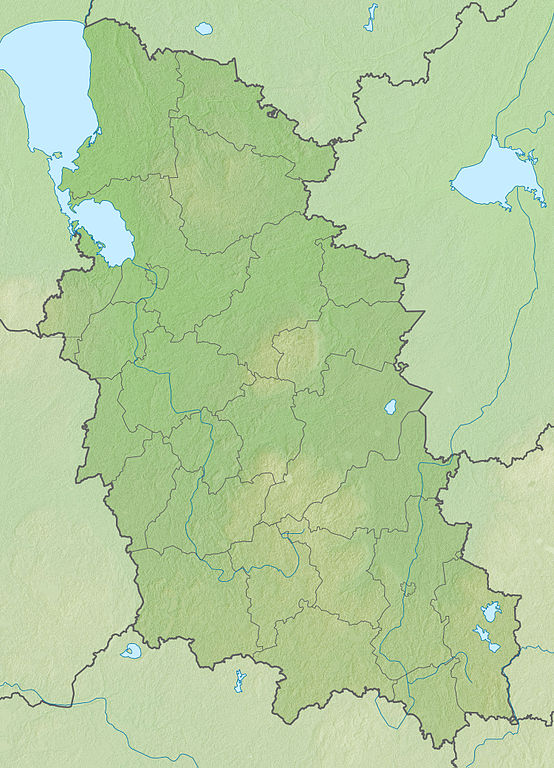
Русский: Физическая карта Псковской области
|top = 59.1 |bottom = 55.5 |left = 27.0 |right = 31.8 |
| Date | |
| Source | |
| Author | Виктор В |
| Other versions |
[]
|


.svg)


Licensing[edit]
This file is licensed under the Creative Commons Attribution-Share Alike 2.0 Generic license.
- You are free:
- to share – to copy, distribute and transmit the work
- to remix – to adapt the work
- Under the following conditions:
- attribution – You must give appropriate credit, provide a link to the license, and indicate if changes were made. You may do so in any reasonable manner, but not in any way that suggests the licensor endorses you or your use.
- share alike – If you remix, transform, or build upon the material, you must distribute your contributions under the same or compatible license as the original.
File history
Click on a date/time to view the file as it appeared at that time.
| Date/Time | Thumbnail | Dimensions | User | Comment | |
|---|---|---|---|---|---|
| current | 18:31, 5 September 2010 | | 1,500 × 2,079 (652 KB) | Виктор В (talk | contribs) | == {{int:filedesc}} == {{Information |Description={{ru|1=Физическая карта Псковской области *Проекция — равноугольная. *Стандартная параллель — 57°12′00″с.ш. *Параме� |
You cannot overwrite this file.
File usage on Commons
The following 4 pages use this file:
File usage on other wikis
The following other wikis use this file:
- Usage on ar.wikipedia.org
- Usage on az.wikipedia.org
- Usage on ba.wikipedia.org
- Usage on be.wikipedia.org
- Аўсянка (рака)
- Сінюха (рака)
- Шэвіна (возера, Себежскі раён)
- Пскоўскае возера
- Чудское возера
- Шаблон:На карце/Расія Пскоўская вобласць
- Чарнец (басейн Обалі)
- Нішча (возера)
- Чорнае (возера, Невельскі раён, басейн Обалі)
- Белае (возера, Невельскі раён, басейн Обалі)
- Пскава
- Вялікая (рака, басейн Пскоўскага возера)
- Невель (возера)
- Сенніца (возера)
- Крупянка (упадае ў возера Езярышча, басейн Нарвы)
- Езярышча (возера, басейн Нарвы)
- Ідрыца (рака)
- Usage on bg.wikipedia.org
- Usage on bxr.wikipedia.org
- Usage on ceb.wikipedia.org
- Usage on ce.wikipedia.org
- Usage on cs.wikipedia.org
- Usage on cv.wikipedia.org
View more global usage of this file.