File:Relief Map of Voronezh Oblast.png
Jump to navigation
Jump to search
No higher resolution available.
Relief_Map_of_Voronezh_Oblast.png (600 × 498 pixels, file size: 618 KB, MIME type: image/png)
Captions
Captions
Add a one-line explanation of what this file represents
Summary[edit]
| Description |
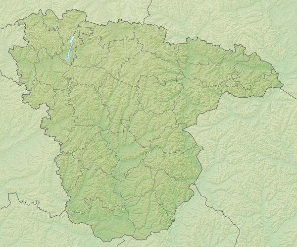
Русский: Физическая карта Воронежской области Равноугольная проекция, растяжение - 160%. Координаты краёв:
|
| Date | |
| Source | |
| Author | Виктор В |
| Other versions |
[]
|


.svg)
Licensing[edit]
| I, the copyright holder of this work, release this work into the public domain. This applies worldwide. In some countries this may not be legally possible; if so: I grant anyone the right to use this work for any purpose, without any conditions, unless such conditions are required by law. |
File history
Click on a date/time to view the file as it appeared at that time.
| Date/Time | Thumbnail | Dimensions | User | Comment | |
|---|---|---|---|---|---|
| current | 17:25, 23 July 2010 | | 600 × 498 (618 KB) | Виктор В (talk | contribs) | == {{int:filedesc}} == {{Information |Description={{ru|1=Физическая карта Воронежской области<br\>Равноугольная проекция, растяжение - 160%. Координаты краёв: * север - 52 |
You cannot overwrite this file.
File usage on Commons
The following 4 pages use this file:
File usage on other wikis
The following other wikis use this file:
- Usage on be.wikipedia.org
- Usage on bg.wikipedia.org
- Воронеж
- Новохопьорск
- Шаблон:ПК Русия Воронежка област
- Бобров
- Богучар
- Борисоглебск
- Бутурлиновка
- Калач (град)
- Лиски
- Нововоронеж
- Павловск (Воронежка област)
- Поворино
- Семилуки
- Ертил
- Калачко възвишение
- Байчурово
- Взаимопомощ (Воронежка област)
- Вихляевка
- Илмен (Воронежка област)
- Калмичьок
- Каменка (Воронежка област)
- Кардаиловка
- Красное Знамя
- Кривченково
- Мазурка (Воронежка област)
- Моховое
- Октябърски (Воронежка област)
- Октябърское
- Пески
- Поляна (станция, Воронежка област)
- Поляна (село, Воронежка област)
- Рождественское
- Самодуровка
- Чибизовка
- Андрюшевка
- Бондарево
- Бугаевка (Бугаевское)
- Бугаевка (Таловское)
- Валентиновка
- Василевка
- Волоконовка
- Гармашевка
- Гартмашевка
- Далний Росоховатий
- Евдокиевка
- Журавка
- Зайцевка
- Златопол
- Ивановка (Митрофановское)
View more global usage of this file.