File:Relief Map of Zabaykalsky Krai.png
Jump to navigation
Jump to search

Size of this preview: 549 × 599 pixels. Other resolutions: 220 × 240 pixels | 600 × 655 pixels.
Original file (600 × 655 pixels, file size: 646 KB, MIME type: image/png)
Captions
Captions
Add a one-line explanation of what this file represents
Summary[edit]
| Description |
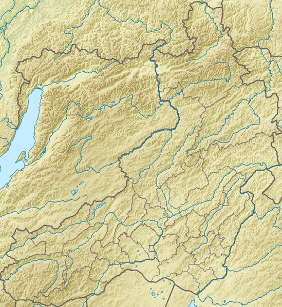
Русский: Физическая карта Забайкальского края, Россия.
|
| Date | |
| Source |
|
| Author | Nzeemin |
| Other versions |
|

Licensing[edit]
I, the copyright holder of this work, hereby publish it under the following license:
This file is licensed under the Creative Commons Attribution-Share Alike 3.0 Unported license.
- You are free:
- to share – to copy, distribute and transmit the work
- to remix – to adapt the work
- Under the following conditions:
- attribution – You must give appropriate credit, provide a link to the license, and indicate if changes were made. You may do so in any reasonable manner, but not in any way that suggests the licensor endorses you or your use.
- share alike – If you remix, transform, or build upon the material, you must distribute your contributions under the same or compatible license as the original.
File history
Click on a date/time to view the file as it appeared at that time.
| Date/Time | Thumbnail | Dimensions | User | Comment | |
|---|---|---|---|---|---|
| current | 10:02, 18 February 2012 | | 600 × 655 (646 KB) | Nzeemin (talk | contribs) | plus region bounds |
| 21:04, 17 February 2012 |  | 600 × 655 (812 KB) | Nzeemin (talk | contribs) |
You cannot overwrite this file.
File usage on Commons
The following page uses this file:
File usage on other wikis
The following other wikis use this file:
- Usage on az.wikipedia.org
- Usage on be.wikipedia.org
- Usage on bg.wikipedia.org
- Онон
- Чита
- Ингода
- Шилка (река)
- Яблонов хребет
- Шаблон:ПК Русия Забайкалски край
- Краснокаменск
- Борзя
- Калар
- Тунгир
- Нерча
- Газимур
- Барун-Торей
- Зун-Торей
- Хилок (град)
- Агинска степ
- Аргунски хребет
- Боршчовочен хребет
- Горночарска котловина
- Газимурски хребет
- Даурски хребет
- Каларски хребет
- Кличкински хребет
- Кодар
- Муйско-Куандинска котловина
- Нерчински хребет
- Ольокмински Становик
- Станова планинска земя
- Тунгирски хребет
- Удокан
- Урюмкански хребет
- Цаган-Хуртей
- Черски хребет (Забайкалие)
- Шилкински хребет
- Ерман (хребет)
- Нерчинск
- Usage on ce.wikipedia.org
View more global usage of this file.