File:Relief locator Map of Georgia.svg
Jump to navigation
Jump to search

Size of this PNG preview of this SVG file: 800 × 425 pixels. Other resolutions: 320 × 170 pixels | 640 × 340 pixels | 1,024 × 544 pixels | 1,280 × 680 pixels | 2,560 × 1,359 pixels | 934 × 496 pixels.
Original file (SVG file, nominally 934 × 496 pixels, file size: 5.75 MB)
Captions
Captions
Add a one-line explanation of what this file represents
Summary
[edit]
| Description |
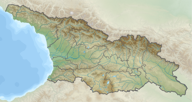
ქართული: საქართველოს ფიზიკური ლოკატორული რუკა |
| Date | |
| Source | Own work |
| Author | გიორგი ოქროპირიძე (Map template from File:Relief Map of Georgia.svg by Giorgi Balakhadze |
Licensing
[edit]
I, the copyright holder of this work, hereby publish it under the following license:
This file is licensed under the Creative Commons Attribution-Share Alike 3.0 Unported license.
- You are free:
- to share – to copy, distribute and transmit the work
- to remix – to adapt the work
- Under the following conditions:
- attribution – You must give appropriate credit, provide a link to the license, and indicate if changes were made. You may do so in any reasonable manner, but not in any way that suggests the licensor endorses you or your use.
- share alike – If you remix, transform, or build upon the material, you must distribute your contributions under the same or compatible license as the original.
File history
Click on a date/time to view the file as it appeared at that time.
| Date/Time | Thumbnail | Dimensions | User | Comment | |
|---|---|---|---|---|---|
| current | 20:09, 18 January 2024 | | 934 × 496 (5.75 MB) | გიო ოქრო (talk | contribs) | borders corrected |
| 20:07, 8 December 2020 |  | 934 × 496 (5.75 MB) | გიო ოქრო (talk | contribs) | Uploaded own work with UploadWizard |
You cannot overwrite this file.
File usage on Commons
There are no pages that use this file.
File usage on other wikis
The following other wikis use this file:
- Usage on ka.wikipedia.org
- სვანეთი
- მყინვარწვერი
- ალაზანი
- რიონი
- იორი
- ენგური
- ხრამი
- ცხენისწყალი
- ხობისწყალი
- არაგვი
- აჭარისწყალი
- ბზიფი
- დებედა
- ვერე
- კოდორი
- ლიახვი
- ყვირილა
- შხარა
- ჯანღა
- თეთნულდი
- ჯიმარა
- უშბა
- თებულოსმთა
- დიკლოსმთა
- შხელდა
- სვანეთის ქედი
- ლეჩხუმის ქედი
- კოდორის ქედი
- სამსრის ქედი
- გაგრის ქედი
- თრიალეთის ქედი
- ბზიფის ქედი
- აფხაზეთის ქედი
- გომბორის ქედი
- ეგრისის ქედი
- კახეთის ქედი
- პირიქითი ქედი
- მესხეთის ქედი
- რაჭის ქედი
- ქართლის ქედი
- შავშეთის ქედი
- ხევსურეთის ქედი
- ჯავახეთის ქედი
- ჭურთა
- რიწა
- აბანოს მყინვარი
- აბიანდა-ჩაამა
- აბრსკილის მღვიმე
- აბუდელაურის მყინვარი
- აბულის ტბა
View more global usage of this file.