File:Reliefkarte Tschechien.png
Jump to navigation
Jump to search
Size of this preview: 800 × 502 pixels. Other resolutions: 320 × 201 pixels | 640 × 402 pixels | 1,024 × 643 pixels | 1,280 × 804 pixels | 2,560 × 1,607 pixels | 3,289 × 2,065 pixels.
Original file (3,289 × 2,065 pixels, file size: 10.91 MB, MIME type: image/png)
Captions
Captions
Add a one-line explanation of what this file represents
Summary[edit]
| Description |
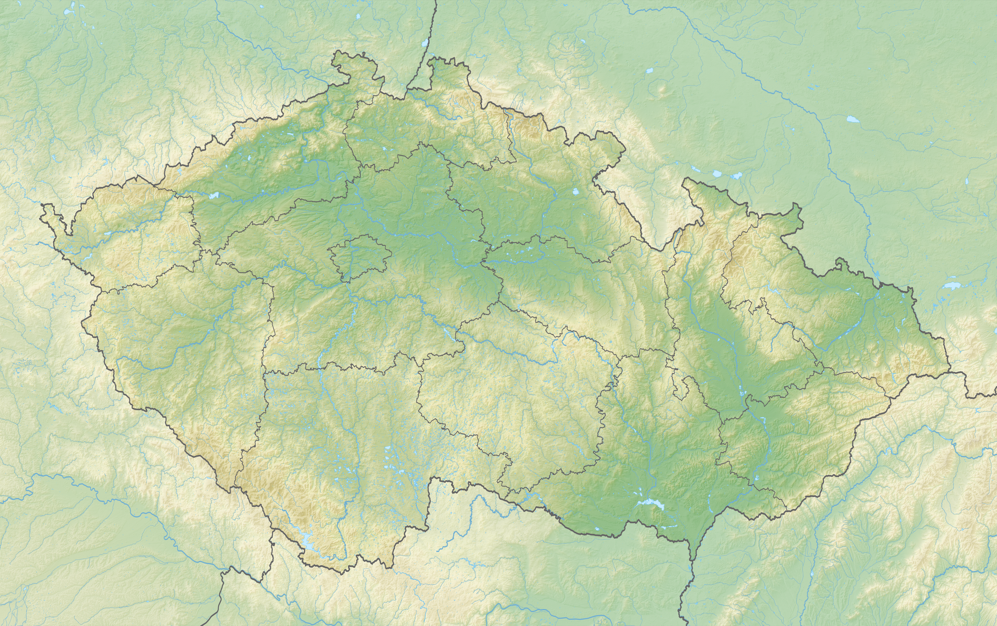
Deutsch: Reliefkarte Tschechien
Topographischer Hintergrund: NASA Shuttle Radar Topography Mission (public domain). SRTM3 v.2. |
||||||||
| Date | |||||||||
| Source | Own work | ||||||||
| Author | Tschubby | ||||||||
| Permission (Reusing this file) |
I, the copyright holder of this work, hereby publish it under the following licenses:
This file is licensed under the Creative Commons Attribution-Share Alike 2.5 Generic, 2.0 Generic and 1.0 Generic license.
You may select the license of your choice. |
||||||||
| Other versions |


File history
Click on a date/time to view the file as it appeared at that time.
| Date/Time | Thumbnail | Dimensions | User | Comment | |
|---|---|---|---|---|---|
| current | 22:13, 28 March 2020 | | 3,289 × 2,065 (10.91 MB) | Tschubby (talk | contribs) | {{Information |description= |date= |source= |author= |permission= |other versions= }} |
| 16:19, 28 March 2020 |  | 3,289 × 2,064 (10.9 MB) | Tschubby (talk | contribs) | {{Information |description= |date= |source= |author= |permission= |other versions= }} | |
| 16:41, 8 May 2018 |  | 3,288 × 2,064 (10.07 MB) | Tschubby (talk | contribs) | == {{int:filedesc}} == {{Information |Description= {{de| Reliefkarte Tschechien}} Topographischer Hintergrund: [http://www2.jpl.nasa.gov/srtm NASA Shuttle Radar Topography Mission] (public domain). SRTM3 v.2. |Source={{own}} |Date= 2018-05-08 |Author= Tschubby |Permission= {{self|GFDL|Cc-by-sa-3.0-migrated|Cc-by-sa-2.5,2.0,1.0}} |other_versions= }} Category:Location maps of the Czech Republic Category:Topographic maps of the Czech Republic |
You cannot overwrite this file.
File usage on Commons
The following page uses this file:
File usage on other wikis
The following other wikis use this file:
- Usage on arz.wikipedia.org
- Usage on de.wikipedia.org
- Tschechien
- Lausitzer Gebirge
- Elbsandsteingebirge
- Hultschiner Ländchen
- Jeschkengebirge
- Ještěd
- Klínovec
- Aschberg (Vogtland)
- Darretalsperre
- Talsperre Fláje
- Talsperre Janov
- Burg Přimda
- Burg Hněvín
- Prager Fernsehturm
- Burg Orlík
- Prager Burg
- Burg Mydlovar
- Bílá hora
- Vyšehrad
- Burg und Schloss Bečov
- Bezděz (Berg)
- Burg Bítov
- Burg Bouzov
- Burg Adršpach
- Burg Budyně
- Smrk (Isergebirge)
- Burg Buchlov
- Burg Návarov
- Burg Grabštejn
- Felsenburg Šaunštejn
- Rudolfův kámen
- Mariina skála
- Felsenburg Falkenštejn
- Burg Andělská Hora
- Burg Helfenburk (Südböhmen)
- Milešovka
- Burg Kyšperk
- Burg Velhartice
- Burg Vysoký Chlumec
- Burg Zvíkov
- Burg Švihov
- Burg Loket
- Burg Malenovice
- Burg Nové Hrady
- Burg Helfštýn
- Burg Pernštejn
- Burg Rabí
- Burg Roštejn
- Burg Sovinec
View more global usage of this file.