File:Road Map of Briarcliff Manor.svg
Jump to navigation
Jump to search

Size of this PNG preview of this SVG file: 614 × 600 pixels. Other resolutions: 246 × 240 pixels | 491 × 480 pixels | 786 × 768 pixels | 1,048 × 1,024 pixels | 2,097 × 2,048 pixels | 943 × 921 pixels.
Original file (SVG file, nominally 943 × 921 pixels, file size: 1.12 MB)
Captions
Captions
Add a one-line explanation of what this file represents
Summary[edit]
| Description |
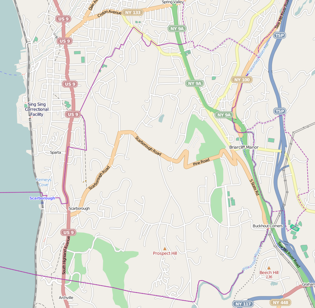
English: his map of Briarcliff Manor was created from OpenStreetMap project data, collected by the community |
| Date | |
| Source | http://www.openstreetmap.org/ |
| Author | OpenStreetMap contributors |
| Permission (Reusing this file) |
All OpenStreetMap data and maps are Creative Commons "CC-BY-SA 2.0" licensed |
Licensing[edit]
This file is licensed under the Creative Commons Attribution-Share Alike 2.0 Generic license.
- You are free:
- to share – to copy, distribute and transmit the work
- to remix – to adapt the work
- Under the following conditions:
- attribution – You must give appropriate credit, provide a link to the license, and indicate if changes were made. You may do so in any reasonable manner, but not in any way that suggests the licensor endorses you or your use.
- share alike – If you remix, transform, or build upon the material, you must distribute your contributions under the same or compatible license as the original.
File history
Click on a date/time to view the file as it appeared at that time.
| Date/Time | Thumbnail | Dimensions | User | Comment | |
|---|---|---|---|---|---|
| current | 23:02, 15 February 2014 | | 943 × 921 (1.12 MB) | Ɱ (talk | contribs) | Reverted to version as of 22:52, 15 February 2014 |
| 23:00, 15 February 2014 |  | 2,445 × 2,388 (8.67 MB) | Ɱ (talk | contribs) | more visibility? | |
| 22:52, 15 February 2014 |  | 943 × 921 (1.12 MB) | Ɱ (talk | contribs) | User created page with UploadWizard |
You cannot overwrite this file.
File usage on Commons
The following 2 pages use this file:
- Briarcliff Manor, New York
- File:BriarcliffRoadMap.svg (file redirect)
File usage on other wikis
The following other wikis use this file:
- Usage on en.wikipedia.org