File:Robinson Crusoe Island location map.svg
Jump to navigation
Jump to search

Size of this PNG preview of this SVG file: 400 × 277 pixels. Other resolutions: 320 × 222 pixels | 640 × 443 pixels | 1,024 × 709 pixels | 1,280 × 886 pixels | 2,560 × 1,773 pixels.
Original file (SVG file, nominally 400 × 277 pixels, file size: 38 KB)
Captions
Captions
Add a one-line explanation of what this file represents
Summary[edit]
| Description |
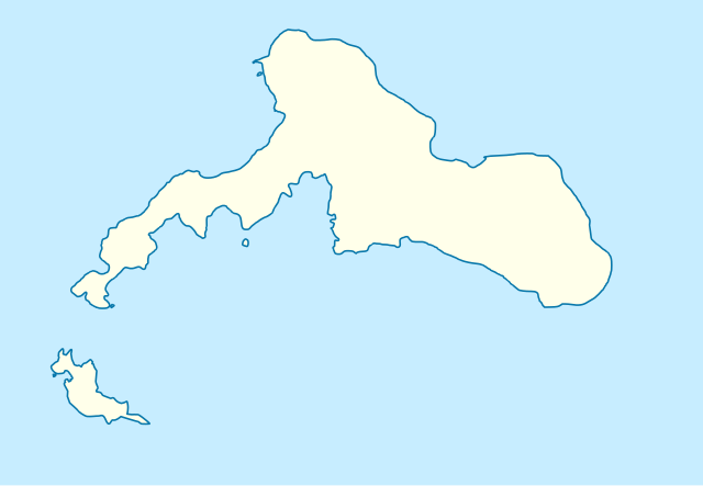
English: Robinson Crusoe Island location map
|
||||||||||||
| Source | Own work | ||||||||||||
| Author | Xraig | ||||||||||||
Licensing[edit]
I, the copyright holder of this work, hereby publish it under the following license:
This file is licensed under the Creative Commons Attribution-Share Alike 3.0 Unported license.
- You are free:
- to share – to copy, distribute and transmit the work
- to remix – to adapt the work
- Under the following conditions:
- attribution – You must give appropriate credit, provide a link to the license, and indicate if changes were made. You may do so in any reasonable manner, but not in any way that suggests the licensor endorses you or your use.
- share alike – If you remix, transform, or build upon the material, you must distribute your contributions under the same or compatible license as the original.
File history
Click on a date/time to view the file as it appeared at that time.
| Date/Time | Thumbnail | Dimensions | User | Comment | |
|---|---|---|---|---|---|
| current | 02:07, 29 December 2022 | | 400 × 277 (38 KB) | Janitoalevic (talk | contribs) | Improvements |
| 01:58, 29 December 2022 |  | 400 × 277 (37 KB) | Janitoalevic (talk | contribs) | better colors | |
| 01:57, 29 December 2022 |  | 400 × 277 (37 KB) | Janitoalevic (talk | contribs) | real vectors | |
| 21:01, 26 March 2011 |  | 794 × 549 (21 KB) | Xraig (talk | contribs) | {{Information |Description ={{en|1=Robinson Crusoe Island location map}} |Source ={{own}} |Author =Xraig |Date = |Permission = |other_versions = }} Category:Location maps of South America [[Category:Rob |
You cannot overwrite this file.
File usage on Commons
There are no pages that use this file.
File usage on other wikis
The following other wikis use this file:
- Usage on de.wikivoyage.org
- Usage on es.wikipedia.org
- Usage on fr.wikipedia.org