File:Rural Halt.jpg
Jump to navigation
Jump to search

Size of this preview: 800 × 531 pixels. Other resolutions: 320 × 212 pixels | 640 × 425 pixels | 1,024 × 680 pixels | 1,280 × 850 pixels | 2,560 × 1,699 pixels | 3,387 × 2,248 pixels.
Original file (3,387 × 2,248 pixels, file size: 6.19 MB, MIME type: image/jpeg)
Captions
Captions
Add a one-line explanation of what this file represents
Summary[edit]
| Description |
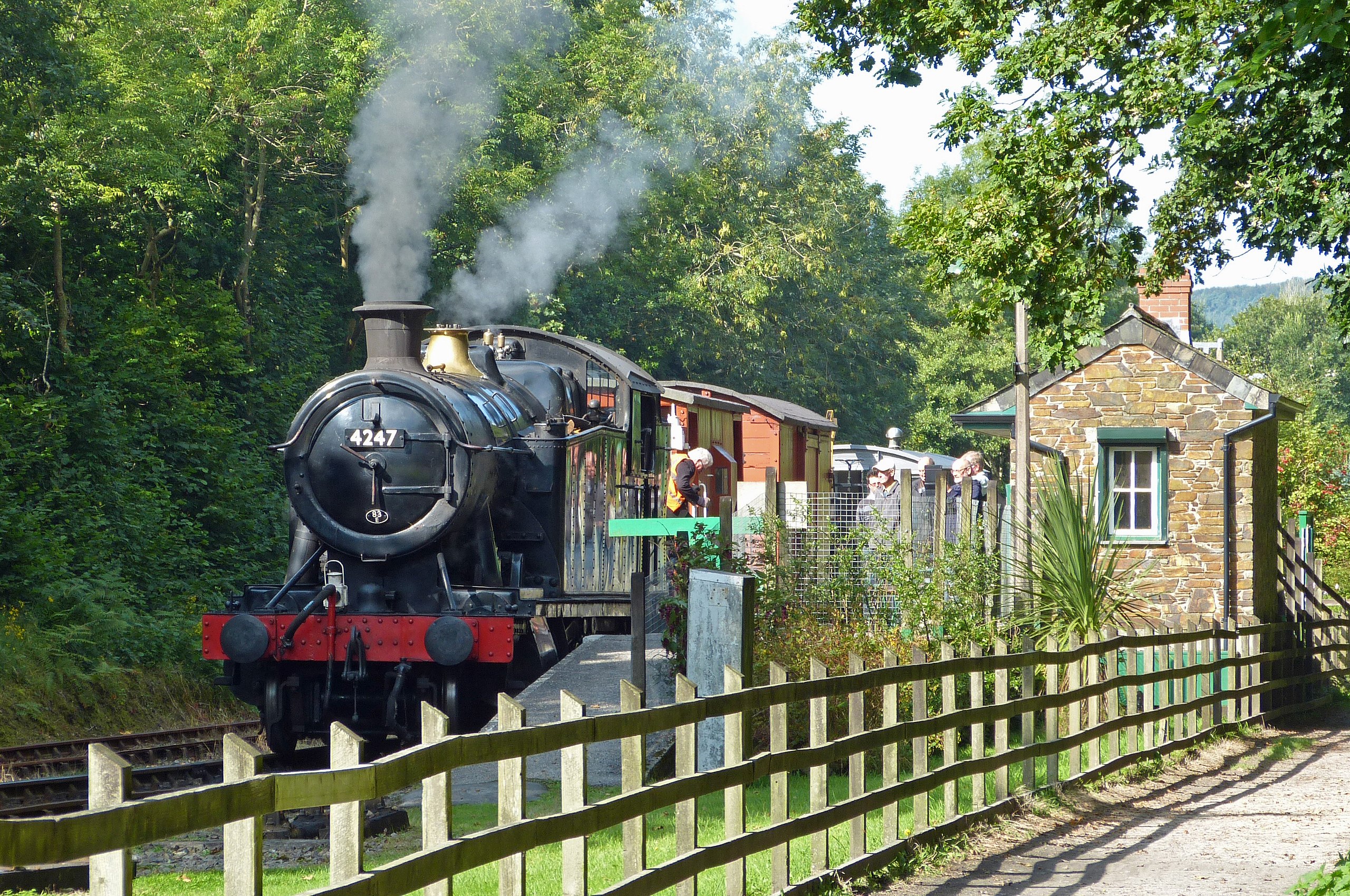
English: The heritage line uses the three miles of track built in 1888 to connect the Bodmin Parkway to Bodmin branch line with the Bodmin & Wadebridge Railway. The two lines met here at Boscarne Junction. The trackbed of the Bodmin & Wadebridge line is now the Camel Trail which continues to Padstow on a later extension to the line. |
| Date | |
| Source | https://www.flickr.com/photos/38986305@N06/22222746841/ |
| Author | ARG_Flickr |
| Camera location | | View this and other nearby images on: OpenStreetMap |
|---|
Licensing[edit]
This file is licensed under the Creative Commons Attribution 2.0 Generic license.
- You are free:
- to share – to copy, distribute and transmit the work
- to remix – to adapt the work
- Under the following conditions:
- attribution – You must give appropriate credit, provide a link to the license, and indicate if changes were made. You may do so in any reasonable manner, but not in any way that suggests the licensor endorses you or your use.
| This image was originally posted to Flickr by ARG_Flickr at https://flickr.com/photos/38986305@N06/22222746841. It was reviewed on 6 February 2022 by FlickreviewR 2 and was confirmed to be licensed under the terms of the cc-by-2.0. |
File history
Click on a date/time to view the file as it appeared at that time.
| Date/Time | Thumbnail | Dimensions | User | Comment | |
|---|---|---|---|---|---|
| current | 14:54, 6 February 2022 | | 3,387 × 2,248 (6.19 MB) | Oxyman (talk | contribs) | Uploaded a work by ARG_Flickr from https://www.flickr.com/photos/38986305@N06/22222746841/ with UploadWizard |
You cannot overwrite this file.
File usage on Commons
The following page uses this file: