File:Süderoogsand.png
Jump to navigation
Jump to search
No higher resolution available.
Süderoogsand.png (591 × 576 pixels, file size: 1,000 KB, MIME type: image/png)
Captions
Captions
Add a one-line explanation of what this file represents
Summary
[edit]
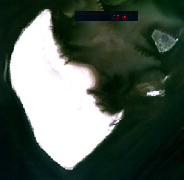
Source: http://permanent.access.gpo.gov/websites/pollux/pollux.nss.nima.mil/NAV_PUBS/SD/pub192/192sec09.pdf, page 200 bottom right, png extraction from pdf document displayed at 100 %, created by National Imagery and Mapping Agency (NIMA)
Licensing
[edit]
This image is a work of the United States National Geospatial-Intelligence Agency or one of its predecessor agencies. As a work of the U.S. federal government, the image is in the public domain.
|
 |
| Annotations | This image is annotated: View the annotations at Commons |
File history
Click on a date/time to view the file as it appeared at that time.
| Date/Time | Thumbnail | Dimensions | User | Comment | |
|---|---|---|---|---|---|
| current | 22:12, 20 November 2006 | | 591 × 576 (1,000 KB) | Ratzer (talk | contribs) | NASA World Wind screenshot |
| 19:59, 11 October 2006 |  | 109 × 169 (19 KB) | Ratzer (talk | contribs) | Source: http://permanent.access.gpo.gov/websites/pollux/pollux.nss.nima.mil/NAV_PUBS/SD/pub192/192sec09.pdf, page 200 bottom right, png extraction from pdf document displayed at 100 %, created by National Imagery and Mapping Agency (NIMA) |
You cannot overwrite this file.
File usage on Commons
There are no pages that use this file.
File usage on other wikis
The following other wikis use this file:
- Usage on da.wikipedia.org
- Usage on de.wikipedia.org
- Usage on en.wikipedia.org
- Usage on frr.wikipedia.org
- Usage on fy.wikipedia.org
- Usage on mk.wikipedia.org
- Usage on vi.wikipedia.org