File:SST Gulf stream.jpeg
Jump to navigation
Jump to search
Size of this preview: 800 × 492 pixels. Other resolutions: 320 × 197 pixels | 640 × 394 pixels | 1,024 × 630 pixels | 1,445 × 889 pixels.
Original file (1,445 × 889 pixels, file size: 539 KB, MIME type: image/jpeg)
Captions
Captions
Add a one-line explanation of what this file represents
Summary[edit]
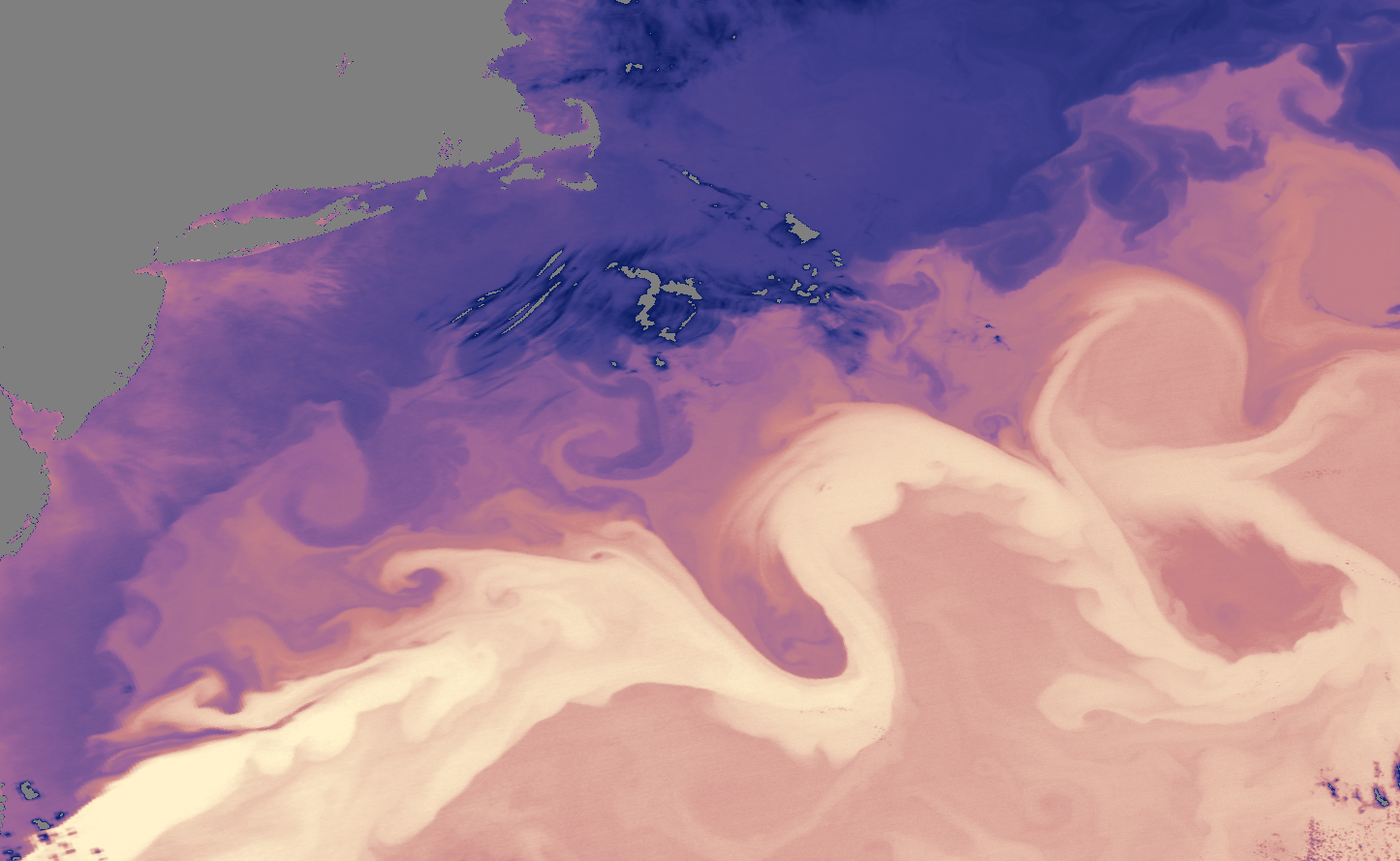
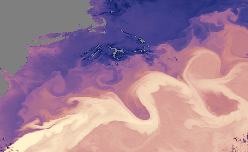
| Description |
English: Transport of warm water revealed by the sea surface temperature distribution around the Gulf Stream in 2005. The darkest areas are measured at -1°C, while the warmest areas reach 23°C. |
| Date | |
| Source | https://earthobservatory.nasa.gov/IOTD/view.php?id=5432 |
| Author | NASA (data collected by the Moderate Resolution Imaging Spectroradiometer (MODIS) on NASA’s Aqua satellite= |
Licensing[edit]
| This file is in the public domain in the United States because it was solely created by NASA. NASA copyright policy states that "NASA material is not protected by copyright unless noted". (See Template:PD-USGov, NASA copyright policy page or JPL Image Use Policy.) | ||
 |
Warnings:
|
File history
Click on a date/time to view the file as it appeared at that time.
| Date/Time | Thumbnail | Dimensions | User | Comment | |
|---|---|---|---|---|---|
| current | 18:08, 13 October 2017 | | 1,445 × 889 (539 KB) | Ariadacapo (talk | contribs) | High-res from source that original uploader did not bother indicating |
| 20:51, 29 March 2015 |  | 257 × 157 (49 KB) | Georgehaller (talk | contribs) | User created page with UploadWizard |
You cannot overwrite this file.
File usage on Commons
There are no pages that use this file.
File usage on other wikis
The following other wikis use this file:
- Usage on ar.wikipedia.org
- Usage on en.wikipedia.org
- Usage on es.wikipedia.org