File:SalmRiverArdennesMap.PNG
Jump to navigation
Jump to search
No higher resolution available.
SalmRiverArdennesMap.PNG (692 × 500 pixels, file size: 111 KB, MIME type: image/png)
Captions
Captions
Add a one-line explanation of what this file represents
Summary
[edit]
| Description |
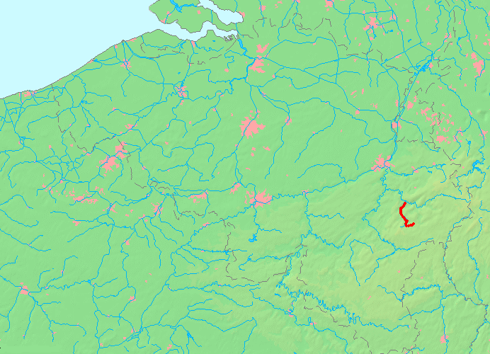
English: Location of the Salm River in the Ardennes
Deutsch: Lage des Flusses Salm in belgischen Flußnetz |
| Date | Unknown date |
| Source | Own work upon basis of MapBelgiumWater.png from Wikicommons |
| Author | Kallewirsch |
Karte selbst erstellt auf Basis der von MapBelgiumWater.png aus Wikicommons
Licensing
[edit]
| I, the copyright holder of this work, release this work into the public domain. This applies worldwide. In some countries this may not be legally possible; if so: I grant anyone the right to use this work for any purpose, without any conditions, unless such conditions are required by law. |
File history
Click on a date/time to view the file as it appeared at that time.
| Date/Time | Thumbnail | Dimensions | User | Comment | |
|---|---|---|---|---|---|
| current | 13:28, 3 June 2009 | | 692 × 500 (111 KB) | Kallewirsch (talk | contribs) | {{Information |Description={{en|1=Location of the Salm River in the Ardennes}} {{de|1=Lage des Flusses Salm in belgischen Flußnetz}} |Source=Owm work |Author=Kallewirsch |Date= |Permission= |other_versions= }} Karte selbst erstellt auf Basis der von MapB |
You cannot overwrite this file.
File usage on Commons
The following page uses this file:
File usage on other wikis
The following other wikis use this file:
- Usage on de.wikipedia.org
- Usage on en.wikipedia.org
- Usage on fr.wikipedia.org
- Usage on hr.wikipedia.org
- Usage on www.wikidata.org
- Usage on zh.wikipedia.org