File:Sankt Jakob im Rosental Sankt Oswald Suchergraben Eisenbahnbruecke 20032015 0999.jpg
Jump to navigation
Jump to search

Size of this preview: 400 × 599 pixels. Other resolutions: 160 × 240 pixels | 320 × 480 pixels | 512 × 768 pixels | 683 × 1,024 pixels | 1,367 × 2,048 pixels | 4,912 × 7,360 pixels.
Original file (4,912 × 7,360 pixels, file size: 25.75 MB, MIME type: image/jpeg)
Captions
Captions
Add a one-line explanation of what this file represents
Summary[edit]
| Description |
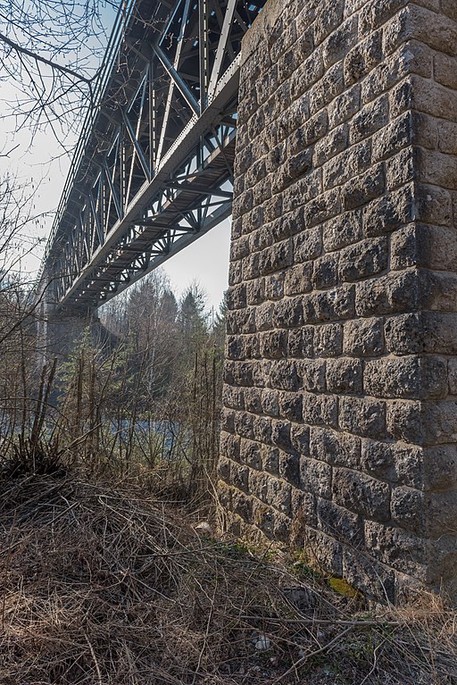
English: Railroad bridge of the Rosentalbahn II across the Suha brook at Greuth, municipality Sankt Jakob im Rosental, district Villach Land, Carinthia, Austria, EU
Deutsch: Eisenbahnbrücke der Rosentalbahn II über den großen Dürrenbach in Greuth, Gemeinde Sankt Jakob im Rosental, Bezirk Villach Land, Kärnten, Österreich, EU |
||
| Date | |||
| Source | Own work | ||
| Author | Johann Jaritz | ||
| Permission (Reusing this file) |
I, the copyright holder of this work, hereby publish it under the following licenses:
This file is licensed under the Creative Commons Attribution-Share Alike 3.0 Austria license.
 You may select the license of your choice. |

| Object location | | View this and other nearby images on: OpenStreetMap |
|---|
Licensing[edit]
I, the copyright holder of this work, hereby publish it under the following license:
This file is licensed under the Creative Commons Attribution-Share Alike 3.0 Unported license.
- You are free:
- to share – to copy, distribute and transmit the work
- to remix – to adapt the work
- Under the following conditions:
- attribution – You must give appropriate credit, provide a link to the license, and indicate if changes were made. You may do so in any reasonable manner, but not in any way that suggests the licensor endorses you or your use.
- share alike – If you remix, transform, or build upon the material, you must distribute your contributions under the same or compatible license as the original.
File history
Click on a date/time to view the file as it appeared at that time.
| Date/Time | Thumbnail | Dimensions | User | Comment | |
|---|---|---|---|---|---|
| current | 11:11, 24 September 2015 | | 4,912 × 7,360 (25.75 MB) | Johann Jaritz (talk | contribs) | {{Information |Description={{en|1=Railroad bridge of the Rosentalbahn II across the Suha brook at Greuth, municipality Sankt Jakob im Rosental, district Villach Land, Carinthia, Austria, EU}} {{d... |
You cannot overwrite this file.
File usage on Commons
The following page uses this file: